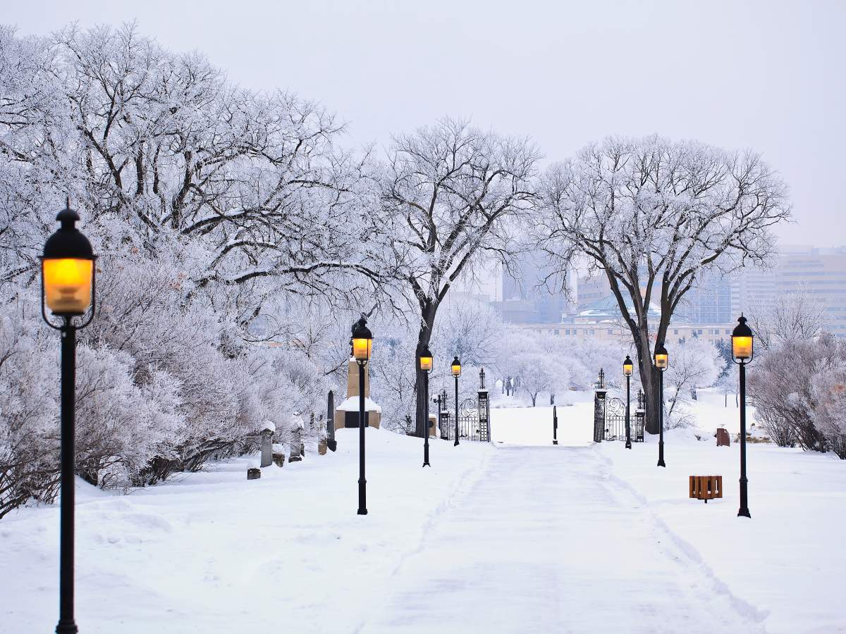
While Winnipeggers are enjoying the warmer-than-usual January weather, there’s also the question of when the other shoe will drop and a typical cold front will show up.

According to Environment Canada’s chief climatologist, that other shoe may not drop at all — at least for the near future.
David Phillips told 680 CJOB that although we’re almost at the halfway point of winter, the city has mostly been spared any kind of unpleasant seasonal weather.
“Next week is what in Winnipeg we call the dead of winter,” he said. “That’s when the temperatures fall and then they begin their slow rise upwards. You haven’t been punished at all by winter-like weather.
“My gosh, it hasn’t been an issue at all. It’s just absolutely what we’re seeing is a lot of Pacific air. The polar vortex is missing in action.

Get breaking National news
“If you ask me about the rest of the winter, our models are showing more of the same for January. We don’t see any Siberian air coming down over Manitoba. Maybe the second half of winter will be colder than the first half but that’s because the first half has been so unlike what you normally see on the prairies.”
With above-zero temperatures on Tuesday and a similar forecast for the rest of the week, Phillips said Winnipeg is very close to record numbers for this time of year.
“There are Januarys you don’t even have (any) thawing of temperature,” he said.
“The record for today would be 2.6 C back in 2007, so you’re clearly in that realm of ‘near record’… It should be a high of -13 C in Winnipeg, but instead it’s plus-two.”
- Old Man Winter wallops B.C.’s Mainland/Southwest region, major highway closed
- Calgary hit by unexpected blast of spring snow, causing dozens of crashes
- False spring strikes again: Saskatchewan prepares for incoming winter weather
- Albertans’ interest in alternative forms of travel growing as fuel prices spike
Phillips said Winnipeg also faced its driest year in 2020 since 1960.
“In the last 60 years, it’s never been as dry as what we saw in Winnipeg. What’s so amazing about that, in western Manitoba, it was like a monsoon.
“It’s almost as if it was raining in the western part of the province but not in Winnipeg and south of Winnipeg.”


Comments
Want to discuss? Please read our Commenting Policy first.