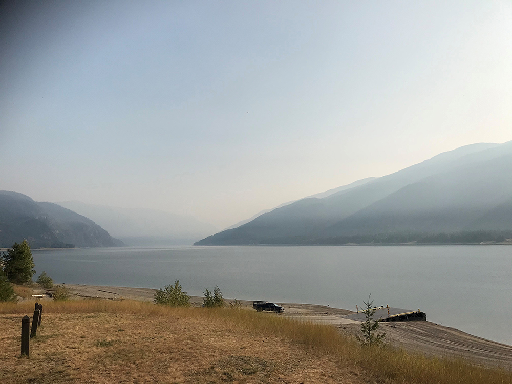
With wildfires scorching thousands of hectares in California, Oregon and Washington state, Environment Canada issued air quality statements on Saturday morning blanketing nearly all of B.C.

Issued at 6:09 a.m., the air quality statements stretch from Vancouver Island to the Kootenays, and from the Canada-U.S. border to B.C.’s Peace River and North Coast regions.
According to the national weather agency, parts of B.C. will be impacted by wildfire smoke during the next 24 to 72 hours.
“Smoke impacts due to long-range transport from wildfires in the western United States have already been observed in some areas of Vancouver Island, the Lower Mainland, and portions of the Interior,” said Environment Canada.

Get breaking National news
“Smoke forecast models indicate the potential for a significant push of smoke into B.C. throughout the weekend.
“The anticipated smoke trajectory indicates that the areas impacted will grow to the north and east as the weekend progresses, with the most widespread impacts expected on Sunday.”

The weather agency noted that areas at higher latitudes, such as Prince George, may have smoke passing through the region aloft.
With falling overnight temperatures, inversions in mountain valleys can increase the likelihood of smoke being trapped near the ground, Environment Canada said.
Localized areas in the Kootenays can expect ongoing smoke impact from the Talbott Creek, Woodbury Creek and Doctor Creek wildfires. it added.

Depending where residents live, provincial air quality health indexes (AQHI) varied greatly.
In Victoria and Greater Vancouver, the ratings were at the maximum of 10-plus, or very high risk.
Meanwhile, up Vancouver Island, Comox was listed at 2, or low, as were Kamloops, the Cariboo plus the North and Central Okanagan.
The South Okanagan, Whistler and Cranbrook were at 3 (low), with Castlegar at 4 (moderate) and Squamish at 5 (also moderate).
For more about B.C.’s AQHI, click here.


Comments
Want to discuss? Please read our Commenting Policy first.