

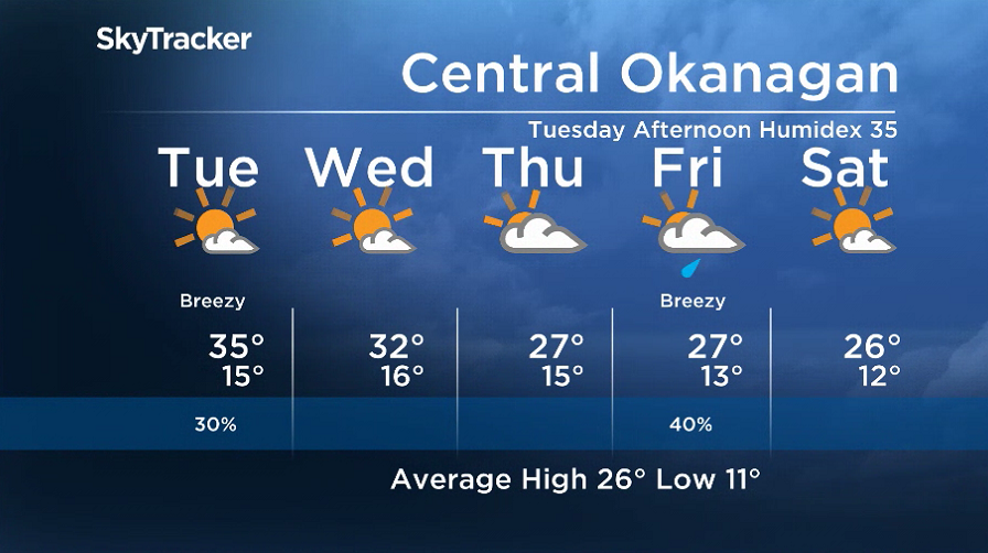
A heat warning is in effect for the Okanagan, with daytime highs in the mid-30s continuing through Tuesday.

The upper ridge of high pressure that brought the heat during the weekend will begin to weaken this week, bringing a return to unsettled weather.
Clouds will build up through the day, with a chance of a showers and risk of a storm into the evening, as temperatures climb back into the mid-30s.
Mostly sunny skies will start the day on Tuesday, with the mercury making it back into the mid-30s before falling to the low 30s on Wednesday, as a few more clouds build in.


The second last week of August wraps up with highs in the upper 20s under mostly cloudy skies, with a chance of showers on Friday.
A few more clouds will slide in for the weekend, with daytime highs hovering in the mid-to-upper 20s.
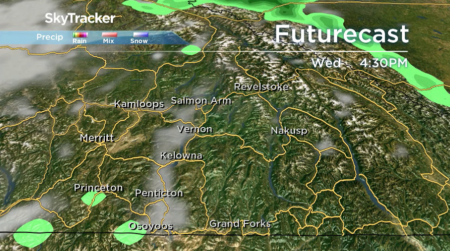
Of note, a severe thunderstorm watch is in effect for the Shuswap.
Environment Canada issued the watch Monday morning, stating “conditions are favourable for the development of severe thunderstorms that may be capable of producing strong wind gusts, large hail and heavy rain.”
For weather on the go download the Global News SkyTracker Weather App for iPhone, iPad or Android.
- Posters promoting ‘Steal From Loblaws Day’ are circulating. How did we get here?
- Video shows Ontario police sharing Trudeau’s location with protester, investigation launched
- Canadian food banks are on the brink: ‘This is not a sustainable situation’
- Solar eclipse eye damage: More than 160 cases reported in Ontario, Quebec
Comments