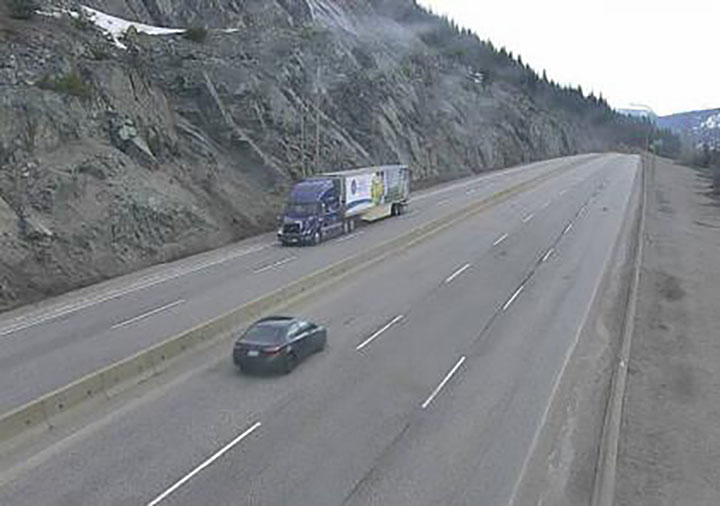
If you plan on driving in or out of B.C.’s Southern Interior this weekend, be prepared for the possibility of snow.

On Saturday morning, Environment Canada issued special weather statements for evening or overnight flurries over high elevation routes, including the Coquihalla Highway, the Okanagan Connector and Highway 3.
The statements, published just after 5:30 a.m., on May 2, cover the Fraser Valley, Fraser Canyon, Nicola, Similkameen, Okanagan, Boundary, West Kootenay and Kootenay Lake regions.
“A vigorous cold front will cross the southern interior of B.C. tonight,” Environment Canada said Saturday.
“Rain will begin this evening, but, as cold air moves in behind the front, snow levels will drop rapidly. As this happens rain will change to flurries over higher elevations.”
The national weather service says 5 to 10 centimetres of snow is possible over higher elevations of the Coquihalla Highway, from Hope to Merritt.

For the Okanagan Connector (Pennask Summit) and Highway 3 (Allison Pass; Paulson Summit to Kootenay Pass), Environment Canada said those areas will likely see 2 to 5 cm.
- Trudeau tight-lipped on potential U.S. TikTok ban as key bill passes
- Canadian man dies during Texas Ironman event. His widow wants answers as to why
- Hundreds mourn 16-year-old Halifax homicide victim: ‘The youth are feeling it’
- On the ‘frontline’: Toronto-area residents hiring security firms to fight auto theft
For the latest road conditions, visit DriveBC.
In addition to snow on the mountain passes, the forecast is also calling for strong wind gusts and isolated thunderstorms as well.
“For the Fraser Canyon, southerly winds of 60 km/h gusting to 80 are forecast this evening,” said Environment Canada.
“The southern Okanagan Valley, including Penticton, can expect very strong westerly wind gusts reaching 80 km/h early in the evening. The potential for heavy but brief downpours and isolated thunderstorms also exists.
“Areas from Similkameen to South Thompson, and eastwards to the northern Okanagan Valley and the Shuswap, strong southwesterly wind gusts of 60 to 70 km/h are expected early in the evening.”
For more about public alerts from Environment Canada, click here.


Comments