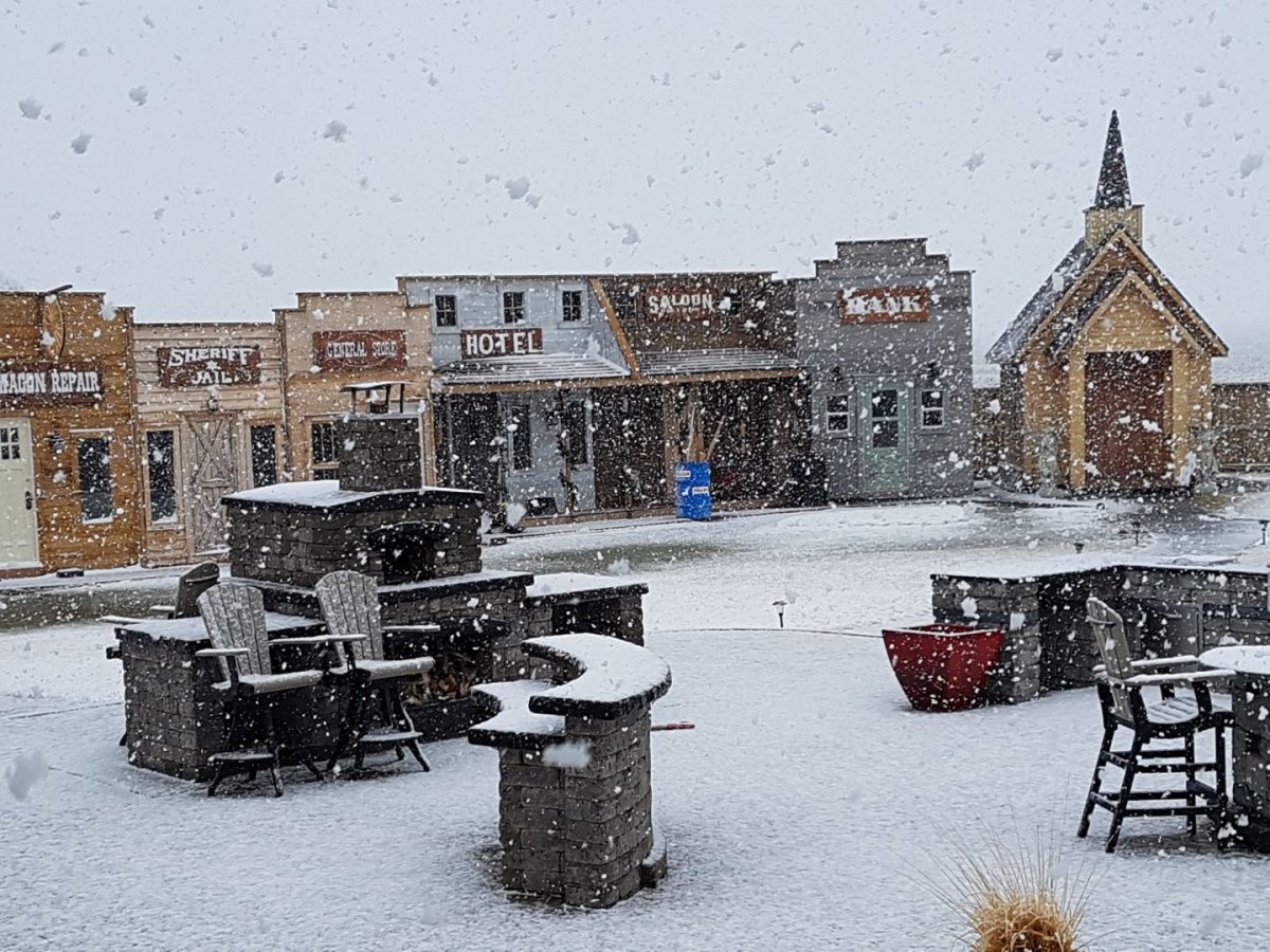
March could go out like a lion with the potential for significant precipitation and a rain and snow mix around the middle of the week.

Spring so far in Winnipeg and around southern Manitoba has been quite comfortable and recently, warm. This week could set things back a bit with the potential for some significant snowfall totals as well as rain headed this way.
While the weather has recently warmed up in Winnipeg, and with no significant precipitation events recently, the snow has on the ground has melted down to around 10 cm from 29 cm since Mar. 22, according to an Environment and Climate Change Canada site.
Tuesday night low pressure will move into Manitoba, bringing a mix of rain and snow.
The conditions this system will bring to the province will vary. Around northern Manitoba, more snow is on the way. Heavy snow will once again hit parts central and northern Manitoba. Around the south, the conditions will vary as a rain and snow mix is likely.

Get breaking National news
According to Environment and Climate Change Canada on Monday morning, 15-25mm of precipitation is possible. The problem is what type of precipitation will fall.
From Monday morning’s model runs for Winnipeg’s weather, here are some notable differences. The GEM model (the Canadian weather model) forecasts almost entirely rain (21mm of rain, 1.7cm of snow) with precipitation starting Wednesday night and continuing through Friday. The GFS model forecasts mostly snow (18cm of snow, 3mm of rain) starting Tuesday night and ending late Wednesday night. The NAM model shows significantly less precipitation (4cm of snow, 1mm of rain) and follows a similar timing as the GFS model. The expected temperatures all vary as well which lends itself to the varying precipitation types.
Forecasting when rain will change to snow or vise versa is always difficult. The timing of the precipitation’s arrival is also somewhat of a question although generally around southern Manitoba we should expect precipitation to begin Tuesday night as rain and continue into Wednesday. It may linger into Thursday as well.
As this system arrives and moves past the region, temperatures will cool slightly, staying closer to normal or below normal for a short while.


Comments