
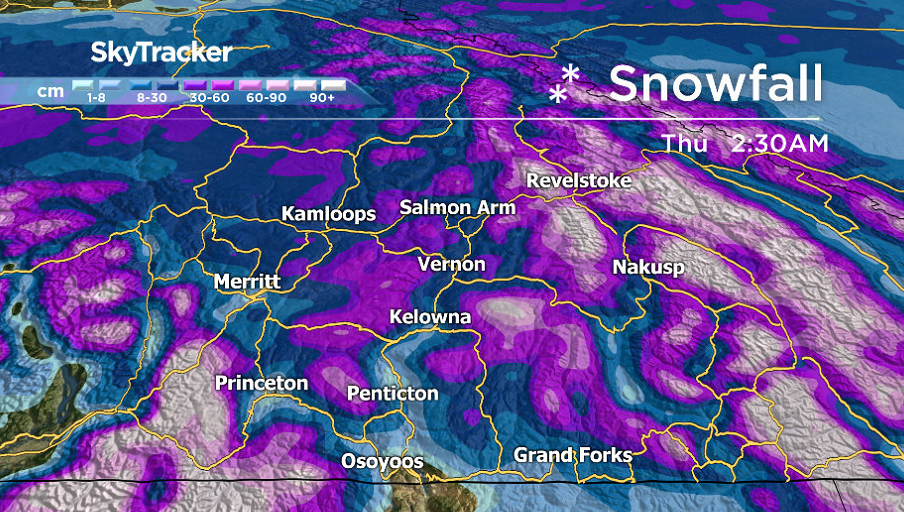
A snowfall warning for 15 to 25 centimetres of snow is in effect for the Central and North Okanagan as a Pacific warm front dumps heavy snow over the area.

The heaviest amounts of snow is expected near West Kelowna and Peachland with up to 25 centimetres possible before snow changes to showers on Tuesday as warmer air moves into the region.
Area highways are under winter storm watches and warnings for total accumulations up to 70 centimetres possible by late Tuesday for Paulson Summit.
Temperatures will hover around the freezing mark Monday into Tuesday before rising up to around 3 degrees Tuesday afternoon as precipitation in the valley bottom becomes spottier showers.
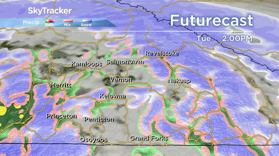


The system associated with the warm front sweeps through with a cold front on Wednesday with pockets of rain and snow possible and an afternoon high around 2 degrees.

Daytime highs plunge to or below the freezing mark for the rest of the week as clouds build back in on Thursday and flurries return on Friday as another system passes through.
Clouds and flurries return over the weekend as arctic air surges in, dunking daytime highs into mid-minus single digits by Sunday.

For weather on the go download the Global News SkyTracker Weather App for iPhone, iPad or Android.
Comments