
Special weather statements for wind and wind chill values have been issued for the southern portion of B.C.

For the Southern Interior, Environment Canada says strong, northerly winds will accompany the arrival of arctic air, and that wind gusts of up to 70 km/h are likely.
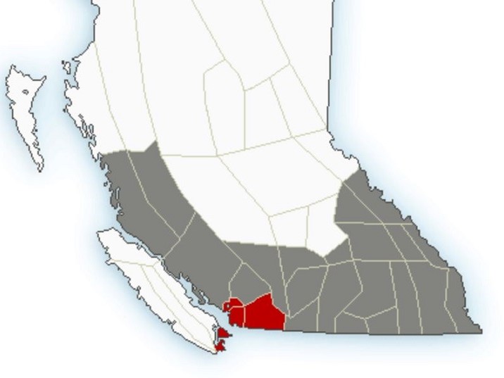
The statements range from the Central Coast to the Lower Mainland and east the Kootenays.
The Similkameen, Okanagan, Shuswap, Boundary and Thompson regions are included in the statements.


The national weather service added that there are risks of locally higher wind gusts Wednesday afternoon, and that “the cold arctic air combined with strong winds will lead to cold wind chill values today and tonight.”


“In the wake of the front,” it added, “the arctic air over the interior will deepen and temperatures will continue to drop Thursday and Friday.”

Get daily National news
Environment Canada said people working and spending time outside are reminded to dress warmly and in layers, preferably with a wind-resistant outer layer, and that travellers are encouraged to add winter emergency kits to their vehicles which include a blanket, extra clothes and boots.
Comments