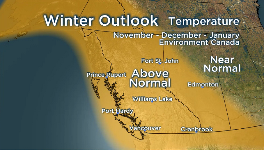
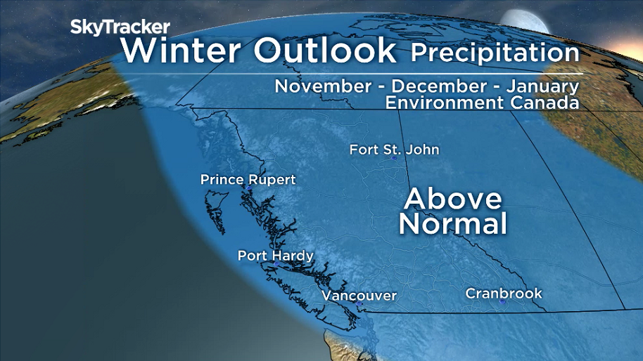
This year’s seasonal forecast produced by Environment Canada suggests most of B.C. will likely experience a warmer than average winter with above average precipitation.

But while this may be the case on average this winter, this doesn’t describe everything we’ll really experience.
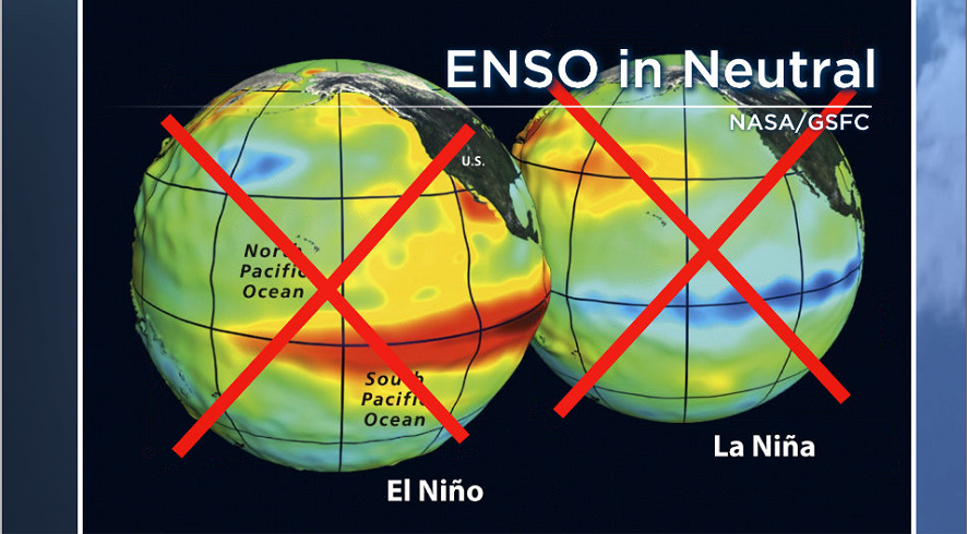
This year the El Niño Southern Oscillation (ENSO) is in neutral, according to the NWS Climate Prediction Center.
That means it’s not going to be either an El Niño or La Niña winter. During these types of winters we can characterize the weather in B.C. as generally warm and dry or cold and wet, but in not in ENSO-neutral years.
It’s not going to be El Niño or La Niña winter. It’s going to be a La Nada winter — my sister’s joke. I can’t take credit.

Get breaking National news
Ok. Seriously now, ENSO-neutral winters are best characterized as being volatile, meaning the months are filled with bursts of both stormy weather and calmer periods.
Here’s why.
ENSO is the long-term climate pattern that is the most influential driving force behind our winter weather.
When ENSO takes a break, it clears the path for the many other lesser known climate patterns, such as, the Madden-Julian Oscillation, the Pacific North America Pattern and the Arctic Oscillation, to become the influencers.
These other climate patterns are always there, but now they won’t be over shadowed.
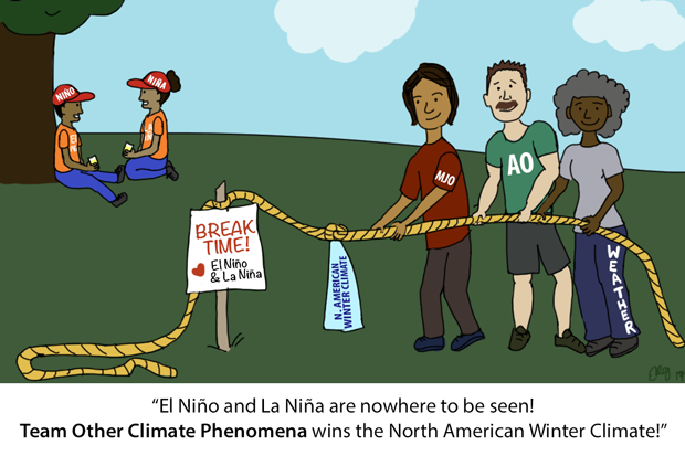
The problem is that these are short-term climate patterns.
So rather than influencing the entire winter with one general pattern, the winter will instead be influenced in shorter spurts.
That means we’ll likely see large swings in both temperature and precipitation throughout the season. So for those of you hoping to avoid winter tires, this is not the year.
Reminder: Climate and weather are different.
Check out the tweet below for some great analogies.
Looking back at our fall so far, which has also been ENSO-neutral, these bursts of weather opposites are apparent.
For example, we saw a ‘soaker’ of a week Oct. 15 to Oct. 21 followed by a record-breaking dry spell from Oct. 26 to Nov. 7.
Another interesting feature of an ENSO-neutral winter is that there tends to be an increased chance of strong wind events along the west coast.
However, it should be noted that the most recent damaging windstorms in the Lower Mainland, the Stanley Park windstorm of 2006, the Christmas windstorm of 2018 and the summer windstorm of 2015, did not occur during ENSO-neutral years.
So although we could see an increase in strong wind events, it doesn’t necessarily mean they will be incredibly dangerous.
And if you’re a skier, better get your boards waxed.
ENSO-neutral years tend to produce pretty good snow in the mountains with near average snowfall.
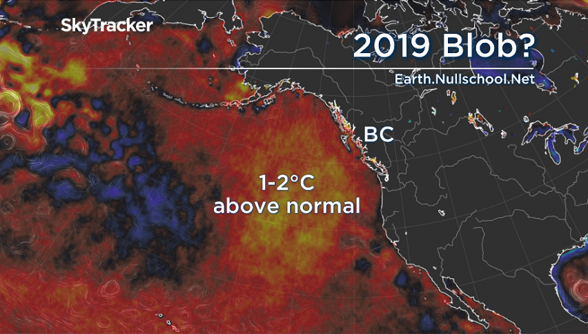
However, we are keeping a close eye on the Northeast Pacific Marine Heat Wave of 2019 or ‘Blob‘ which redeveloped this year off the B.C. coast.
This can also have a huge impact on our winter weather, especially in the mountains.
During the 2014-15 season, we saw very little snow on the hills and almost nothing in Metro Vancouver.
Thankfully for skiers, it looks like this year’s ‘Blob’ is weakening. So if you haven’t put your snow tires on yet? You should soon.
- Hundreds of protesters at UBC confront OneBC leader Dallas Brodie
- Public hearing into Myles Gray’s death adjourned after vulgar comment caught on mic
- Orange bridge in Port Alberni targeted with racist vandalism for 3rd time
- Metro Vancouver governance committee meets to prepare review of size, structure






Comments