
If you asked André Grand-Maison how many times he’s had to deal with flooding in the 32 years he’s lived at his house in Notre-Dame-de-l’Île-Perrot, he’s quick to reply, “never.”

That’s why when he saw his home was placed in a flood plain in the province’s new flood zone maps, he was shocked.
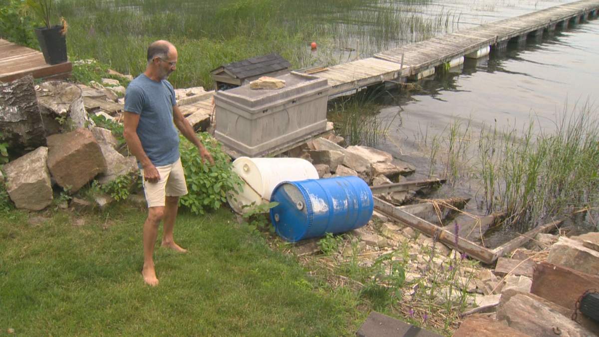
By the province’s calculations, his home would have been swallowed whole by the lake during this spring’s flooding.
“Not only my house, maybe the half of Montreal,” he exclaimed while laughing.
On Tuesday, Grand-Maison was able to laugh at the issue because it no longer is one: for the third time, the province has tweaked its map, removing an additional 17 municipalities from the flood zones, including Notre-Dame-de-l’Île-Perrot.
The municipalities are:
- Municipality of Saint-Étienne-de-Beauharnois
- Parish of Saint-Louis-de-Gonzague
- Senneville
- Baie-D’Urfé
- Beaconsfield
- Beauharnois
- Châteauguay
- Dorval
- L’Île-Dorval
- L’Île-Perrot
- Léry
- Montréal
- Notre-Dame-de-l’Île-Perrot
- Pincourt
- Pointe-Claire
- Sainte-Anne-de-Bellevue
- Vaudreuil-Dorion

Get daily National news
“Well, great!” Grand-Maison reacted.
Mayors have been fighting with the province to have the maps corrected since they came out in June.
They argued many homes were placed in the flood map’s Special Planning Zones (SPZ), when, in fact, they had never been flooded.
Mayors were furious and pushed hard for the change, including Danie Deschênes.
“It changes a lot in peoples lives,” Deschênes said. “If it stayed that way, people would have not been able to build houses and their insurances fees did come up at some point, for that reason specifically.”
WATCH: West Island residents, mayors furious over Quebec’s updated flood maps

- WestJet flight attendants give 72-hour strike notice; airline issues lockout
- Toronto police to provide update on nearly 20-year-old homicide case
- Burned chimney all that remains of woman’s home after wildfire near Clinton, B.C.
- Autism network calls for revamped alert systems after Calgary boy found dead


The changes will take effect on Aug.20 , meaning those who wish to renovate or build can do so as of that date.
As for those who still find themselves in the flood plain on the maps but think their homes don’t belong there, they can still ask for changes at their local city hall before Aug. 19.
The City of Beaconsfield has also applauded the changes, saying the Ministry of Municipal Affairs and Housing listened to the West Island community.
“We are pleased and satisfied by the decision of the MAMH,” said Georges Bourelle in a statement. “By acting quickly, documenting the situation in Beaconsfield and being well prepared for the meeting with the minister, we have obtained the desired outcome, which is the exclusion of any buildings on our territory.”
— With files from Global News’ Kalina Laframboise
Comments
Want to discuss? Please read our Commenting Policy first.