

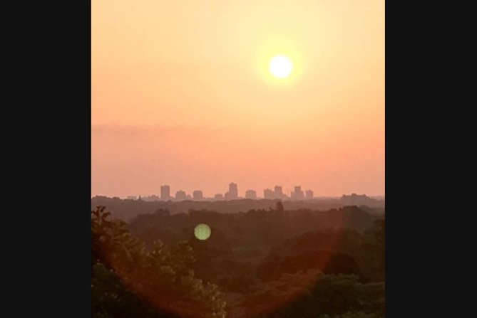
It’s certainly been a scorcher of a week in the London area, and it looks like the hottest weather is still yet to come.

An Environment Canada heat warning is in effect, covering London, Middlesex and most of southern Ontario and calling for significant heat and humidity on Friday and Saturday.
“This is going to be some of the hottest weather we’ve seen yet this year,” said Global News chief meteorologist Anthony Farnell.
“In most summers, you only get one day like this where the temperature reaches the mid-30s and the humidity…stretches into the mid-40s. That’s something you don’t see very often.”
He added: “It goes from just uncomfortable to dangerous weather for our most vulnerable. That is the big concern Friday and heading right through the weekend.”
The Middlesex-London Health Unit has also issued an extended heat alert warning about the dangerous temperatures.
READ MORE: London health unit and Environment Canada issue warnings ahead of extended blast of weekend heat
Officials are advising members of the public to keep their health in mind by limiting the amount of time they spend outside during the extremely warm conditions and avoiding strenuous activities outdoors. The warning is especially important for seniors and young children, who are considered more vulnerable to extreme heat.

Get breaking National news
Widespread showers and thunderstorms are expected to cool things off late Saturday as a cold front moves through the area.
“It’s not just a front that’s going to knock the temperature down for a day or two, this is a big pattern change,” said Farnell.
“The west of Canada has been rather chilly all of July. They’re going to start getting hot temperatures, while areas around the Great Lakes, including much of Ontario, will start to see a cooling trend,” he said.
“For much of next week, there won’t be any humidity, and the temperatures will actually be below seasonal.”


While it’s going to be hot, Farnell said it may not be record-breaking.
“The big question mark is whether or not we see some clouds and the risk of thunderstorms. The second you get one of these storms in the afternoon, the temperature gets knocked down,” he said.
“There is some instability that could work against breaking records, but it is going to be close. It wouldn’t surprise me if maybe not London but some of the surrounding areas do break a record for this date.”
Although temperatures are set to cool down next week, Farnell said long-range forecasts are hinting at a very hot August in the region.
WATCH: Summer hacks to stay cool in the heat

Comments
Want to discuss? Please read our Commenting Policy first.