

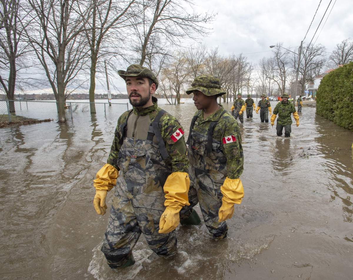
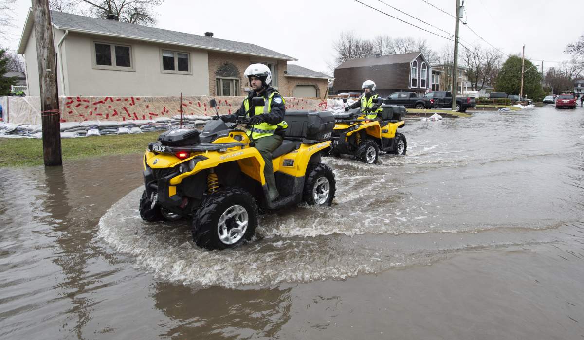
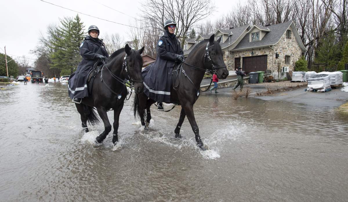
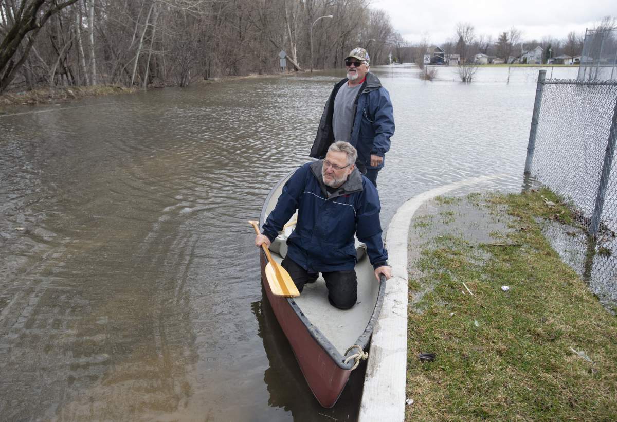
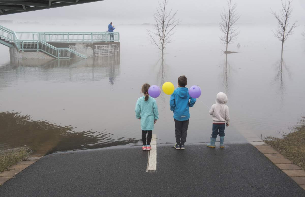
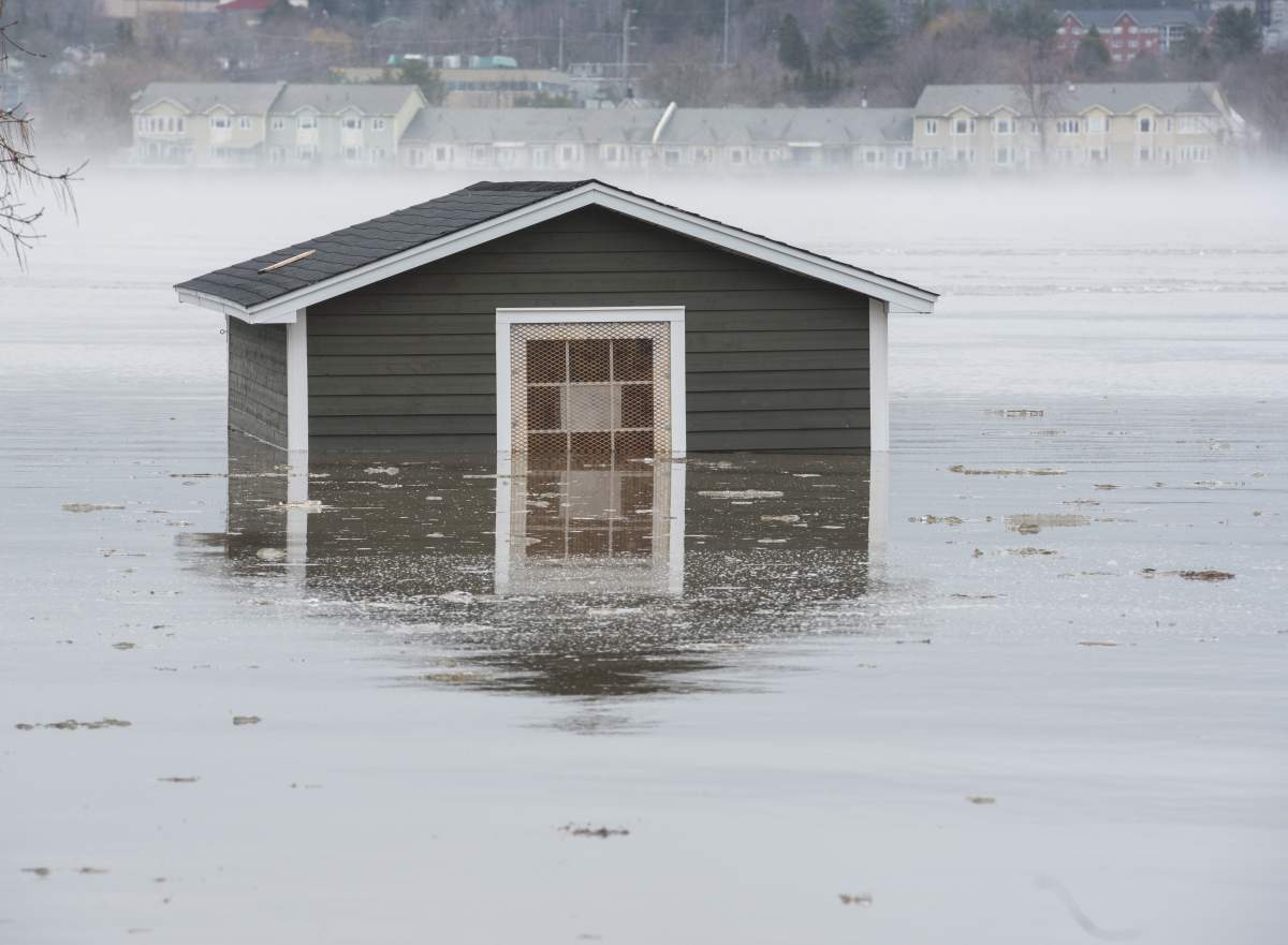
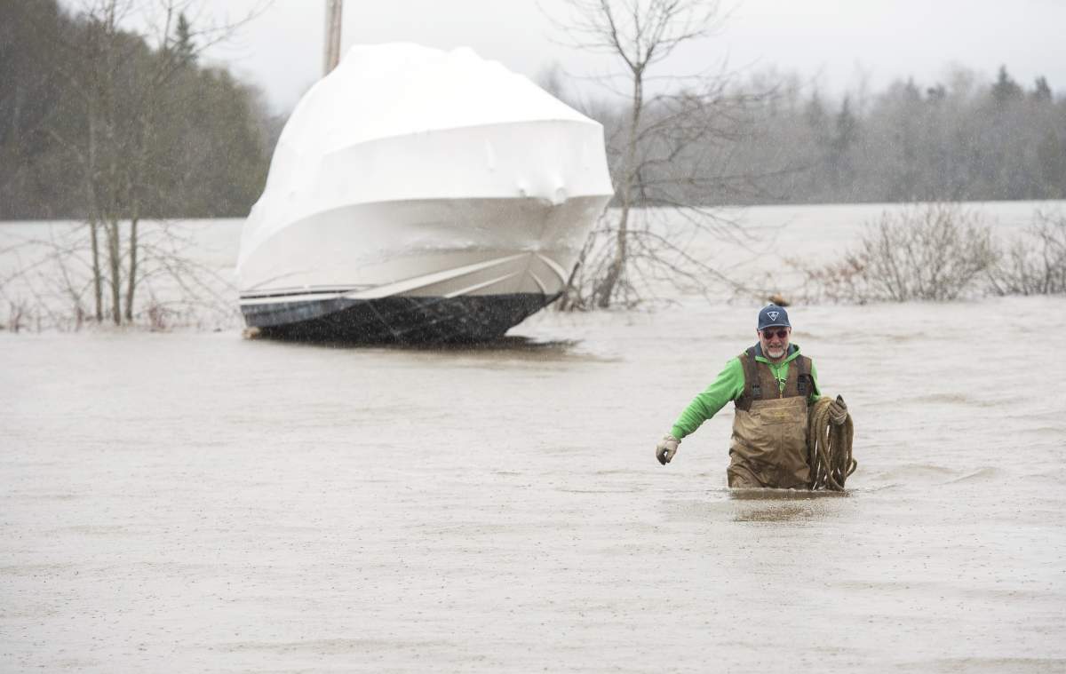
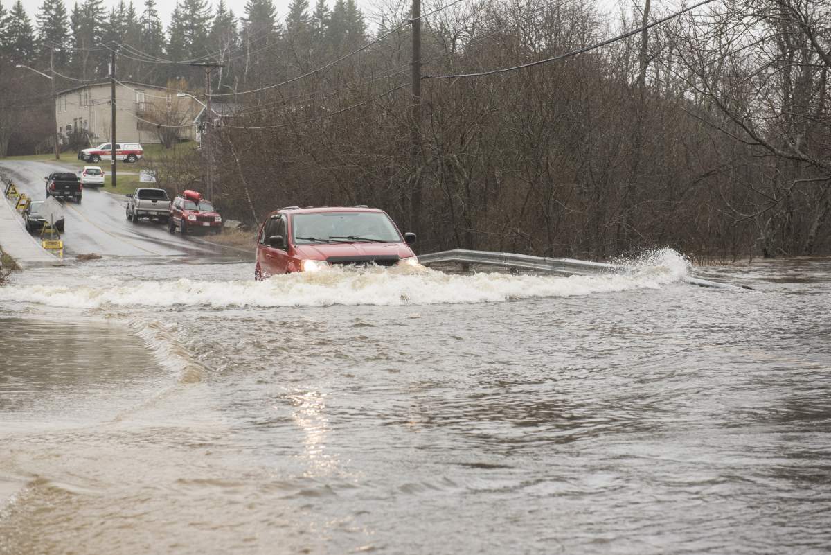
Residents of Central and Eastern Canada have found themselves taking transport by canoe on the streets of major cities amid flooding that has inundated communities in three provinces.

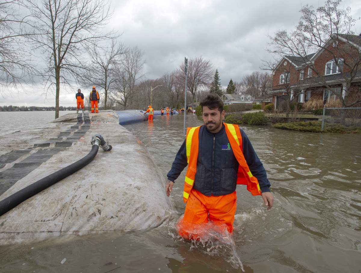
Communities in Ontario, Quebec and New Brunswick are coping with heightened water levels that have forced authorities to pile sandbags and homeowners to move their possessions to higher ground to avoid them being damaged by the flooding.
Here’s the situation in all three provinces:
Ontario
Southwest Ontario is set to face a Texas low-pressure system that is expected to bring rainfall of 20 to 45 millimetres from Thursday night into Friday.
Rainfall ranging from 20 to 35 millimetres is projected to hit the south-central and southern sectors of Ontario’s northeast, and southeast Ontario could see anywhere from 20 to 30 millimetres.
Flood warnings have been issued in numerous areas, including the Ministry of Natural Resources and Forestry (MNRF) districts of Bancroft, Kemptville, North Bay, Parry Sound, Pembroke and Sault Ste. Marie.
WATCH: A state of emergency has been declared in Ottawa flood levels are already predicted to rise well about the 2017 peak, and more rain in the forecast next week could exacerbate the crisis. Abigail Bimman reports.

READ MORE: City of Ottawa declares state of emergency as flood levels projected to rise above 2017 peak
Warnings have also been issued in the conservation authorities for Crowe Valley, the Kawartha Region, the Lower Trent area, the Mississippi Valley, the North Bay Mattawa authority and the Otonabee Region, as well as Quinte, Rideau Valley and the South Nation River area — the latter includes the Ottawa River.
The Ottawa River basin alone has experienced “significant rainfall” since April 18, putting “all flood-prone areas” from Lac Coulonge to the Montreal Archipelago at risk.
Peak levels on the Ottawa River could be similar to those that were recorded two years ago.
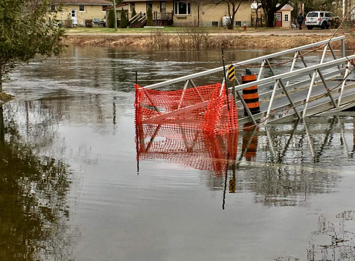
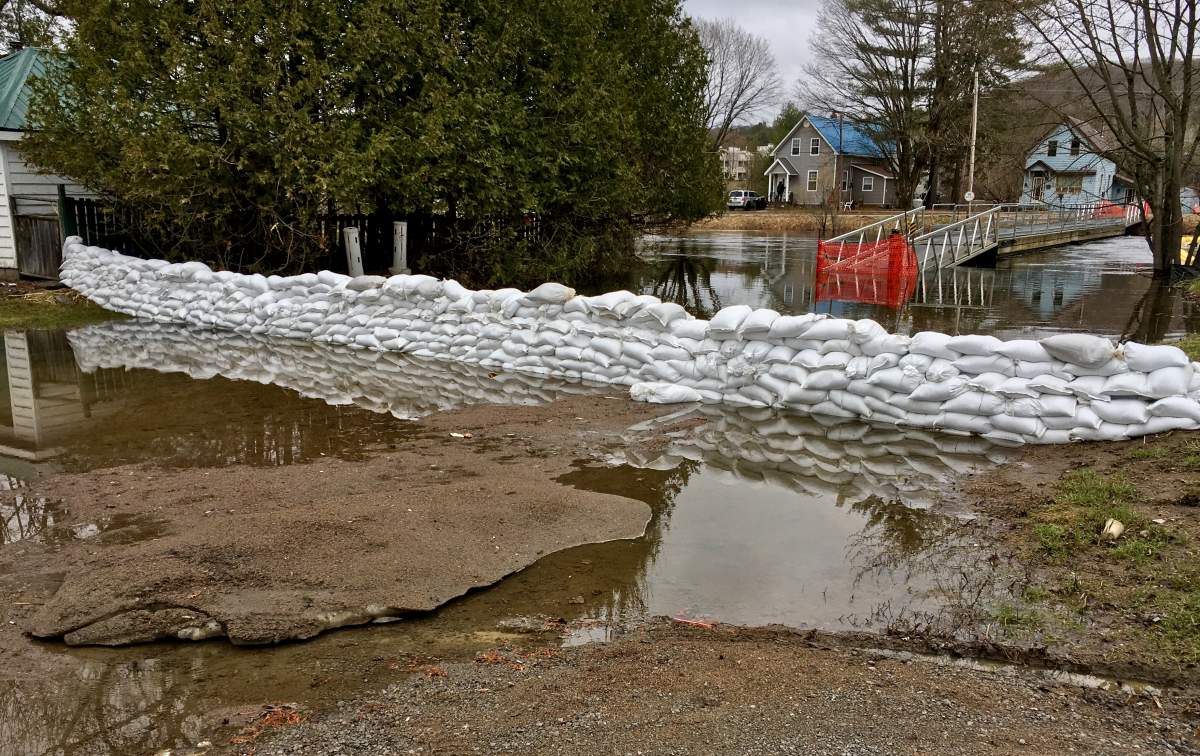
WATCH: Minden flood could reach historic 2013 levels
_848x480_1507912259764.jpg?w=1040&quality=70&strip=all)
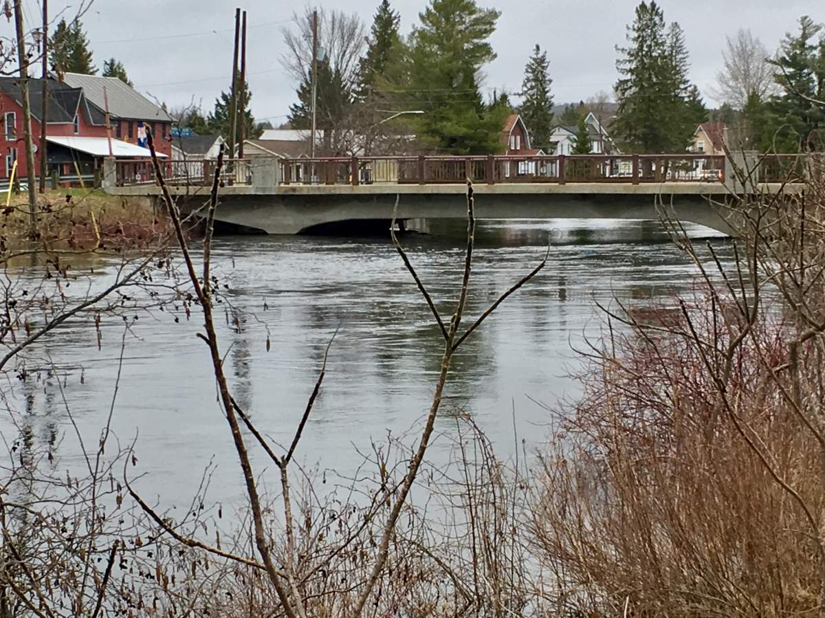
WATCH: April 21 — Flood risk in Peterborough and the Kawartha Lakes region


Quebec

Get daily National news
Some of the most serious flooding in Quebec is expected to hit the Rigaud area, which could see records that reach the 100-year mark before waters start to recede.
But that alone doesn’t capture that magnitude of the flooding that has hit other parts of the province.
The community of Ste-Marie in the Chaudiere-Appalaches region has seen more residences flooded than any other, with 500 residences hit.
READ MORE: How does Canada mitigate the impact of flooding? Experts say better urban planning
It’s followed by St-Andre d’Argenteuil in the Laurentides region, where 169 homes have been flooded, and Gatineau, where 133 residences have seen flooding.
All told, there are over 2,500 residences that have been flooded across Quebec.
WATCH: Rigaud predicts historic flood level

WATCH: Île-Perrot under pressure as flooding continues


New Brunswick
Several communities are experiencing flooding in New Brunswick, but much of it is concentrated in the province’s southern areas.
The provincial government has advised residents in communities such as Quispamsis/Saint John, Oak Point, Grand Lake, Jemseg, Maugerville and Sheffield/Lakeville Corner to “take all necessary precautions,” which includes protecting homes and moving belongings to higher ground.
The provincial capital of Fredericton, too, is seeing water levels that are projected to fluctuate in the coming days, but they’re not expected to recede until the end of the week.
WATCH: Grand Lake, N.B. residents powerless as they watch floodwaters overtake homes and cottages
WATCH: St. John River’s high waters flood Fredericton’s downtown


Comments
Want to discuss? Please read our Commenting Policy first.