


A large snowfall in the United States may not mean an enhanced flood risk for Manitoba, says a local flood expert.
University of Manitoba civil engineer and flood expert Jay Doering told 680 CJOB Wednesday that he’s not worried – at this point – about the storm that could dump 60 cm of snow on South Dakota.
“I think we need to be careful and see how this storm tracks,” he said.

Get breaking National news
“What I expect it might do – and we need to see the final trajectory of the storm – is that it may prolong the high-water levels, because there’ll be additional precipitation coming in behind it, that’s newly-arrived on land.”
Doering said he’s been watching hydrographs – which show the rate of a river’s flow (discharge) versus time – as they develop, and that Manitoba is likely looking at something lower than a 2009-level flood, as originally predicted.


“We’ve been blessed by the fact that we’ve had fairly cool-ish weather, clear skies, and lots of sunshine. That’s helped with sublimation. It’s helped thaw the ground, and it’s provided a place for the runoff to go other than into the river itself.”
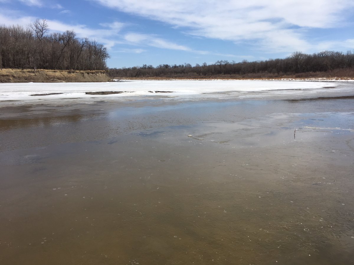
WATCH: Ice flows cause Red River to swell

Comments