
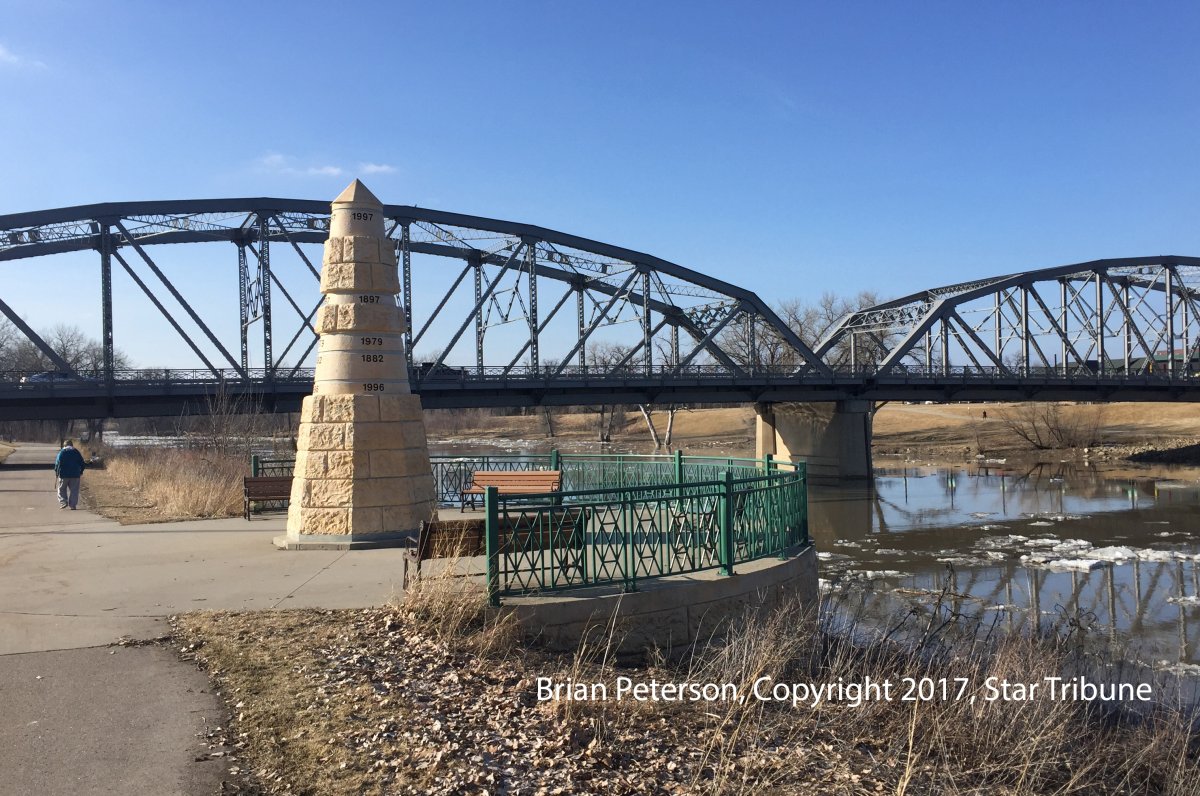


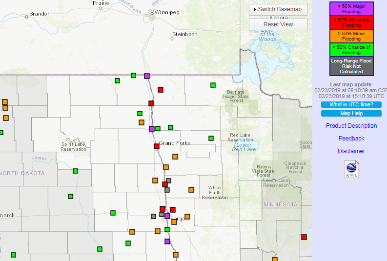
The U.S. National Weather Service has officially issued a flood warning for parts of North Dakota, including Grand Forks and Fargo.
The service issued the warning on Wednesday, although forecasters have been predicting flooding this year for a few months, due to the amount of precipitation in the Red River Basin over the winter.
In some places, flood waters are expected to rise up to six metres over the next week.

Get daily National news
“This forecast is for a 7-day period … the highest stage indicated may not reflect the crest for this event,” reads the warning.
Overland flooding is also expected on several highways in the state.
There is some good news, however – very little snow in March, temperatures that reach past 0C during the day and below freezing overnight, and a slow melt mean forecasters may end up reducing their flood predictions by up to as much as 25 per cent in some areas.
Earlier this year, the NWS warned those in Fargo that there is a 95 per cent chance they will see moderate flooding come April and May. There is a smaller chance of major flooding, especially along the Red River.


All in all, it’s shaping up to be a similar flood that Manitoba and North Dakota saw in 2009.
Infrastructure minister Ron Schuler said last week the province is mobilizing to deal with a flood “at or above 2009 levels,” with peak levels expected on the Red River at Emerson, Man. between April 12-23.
That flood saw parts of Hwy. 75 between Winnipeg and the US border closed down due to flooding for about a month.


Comments