


If it’s not one thing it’s another.

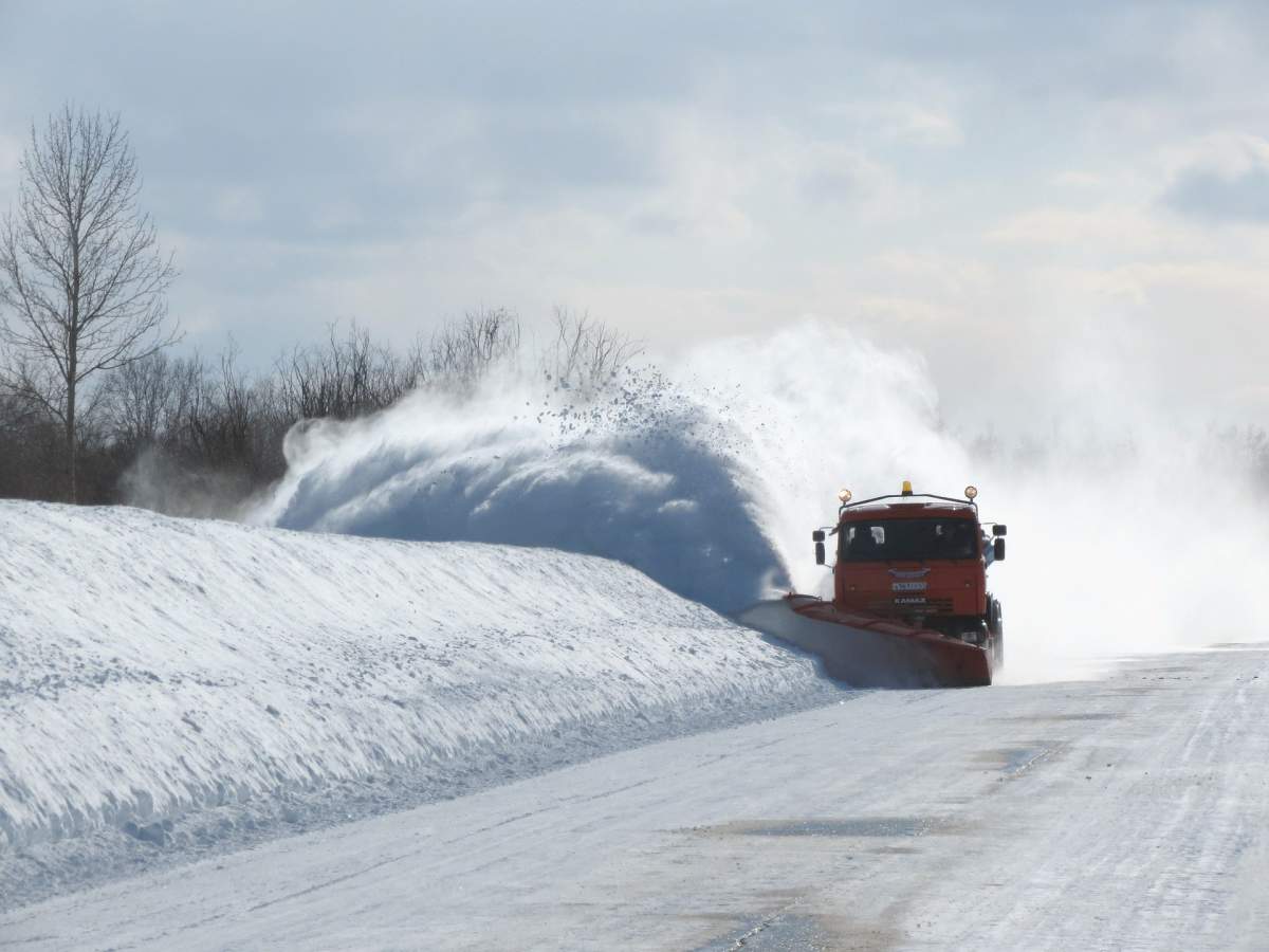
After a cold finish to January, temperatures warmed up modestly over the weekend as the southern half of the province get hit with two different storms.
Storm 1 was primarily on Saturday, where 30 cm of snow was registered in Rorketon, Man.
The second storm arrived Sunday and into Monday. Here are the snowfall totals in centimetres from Environment and Climate Change Canada as of 1 p.m. Monday.
- MORDEN: 25
- MORRIS: 21
- WINNIPEG: 12 TO 18
- STE. ANNE: 17
- HOLLAND: 16
- ST. PIERRE JOLYS: 15
- SCHANZENFELD: 15
- BRANDON: 15
- ZHODA: 14
- STEINBACH: 12
- WHITESHELL: 10
- MIAMI: 10
- PORTAGE LA PRAIRIE: 10

Get daily National news
The snow will linger and blow around in open areas Monday afternoon and evening as the winds subside. The conditions are also expected to clear so Monday night will be a cold one.
By Tuesday morning, Winnipeg and much of southern Manitoba will be close to wind chill values of -40 C. This is the criteria for extreme cold warnings to be issued by Environment and Climate Change Canada.
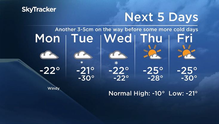
The near-extreme cold conditions will not last long as snow will once again move in from the south. This time, snowfall accumulations will likely be less with generally 3-5 cm falling with some higher amount possible.
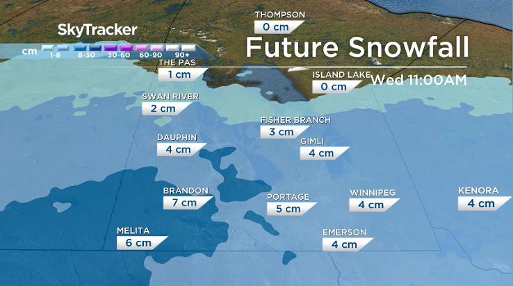


As you might expect by now, as the snow clears temperatures will once again fall. The latter half of the week will be colder once again.
Fortunately, it does not look like an extended stretch of cold days with mornings around -30 C and afternoons near -20 C this time.
While it may stay cold through the weekend, there looks to be a bit of a warm up next week.


Comments
Want to discuss? Please read our Commenting Policy first.