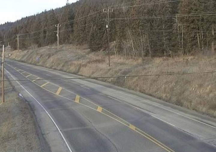
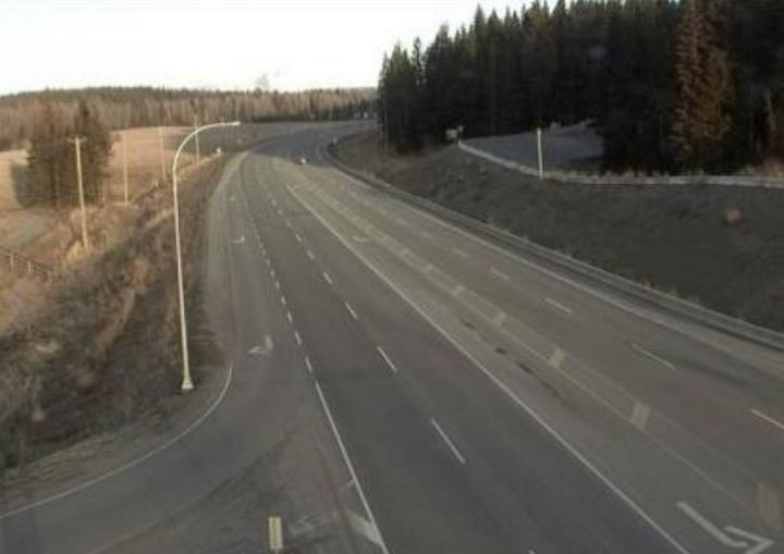
It could be global warming, it could be El Nino, it could be the Grinch stealing anything white. Whatever the cause, many B.C. Interior residents are facing the odd possibility of a green Christmas.

In the Okanagan, temperatures have been well above zero the past month, including a balmy 9 C on Tuesday. Those above-normal temperatures have resulted in snow-free, still-green lawns throughout the valley – an odd sight, considering it’s nearing late December. A chance of snow is forecast for tonight, Saturday, December 22nd, but more on that later.
Admittedly, Kelowna and Kamloops aren’t known for having piles of snow in winter, but the same can’t be said for cities and towns in the Cariboo.
A climatologist with the Pacific Climate Impacts Consortium in Victoria says it’s hard to pinpoint exactly why so many parts of B.C. are snow-free at this time of the year. Faron Anslow says an El Nino warming phase in the Pacific Ocean is playing a part, but adds that it’s only a minor system, not a major one.
WATCH BELOW: (Aired Dec. 15, 2018) ‘The world can be united fighting global warming’: Nations agree on global climate pact rules

“We do have a little El Nino coming in. But usually that doesn’t take effect until late December into January and February. But this year, it seems pretty active already,” said Anslow. “What that does is that it moves the storm track to the south, and when storms track to the south of us, it’s able to push more warm air up into our region. So we tend to get really warm temperatures during an El Nino in about the southern two-thirds of B.C.
“So that’s pretty consistent with an El Nino. But this year, it’s not a really strong El Nino; it’s kind of less than average in terms of strength. But between that and it being early, there’s probably other stuff going on as well.”
That other stuff could be climate change.

Get breaking National news
“El Nino is the natural variability that climatologists talk about,” said Anslow. “And then on top of that, you do have the footprint of climate warming. As you get more into winter, we’ve seen strong warming, especially in the Interior and northern parts of B.C. So that signal is going to sit on top of the El Nino signal and compound the effect.”
Anslow added snow is also dependent whether or not if you’re above or below the zero degree temperature line
“This year, when you’re sitting around 6 or 7 C in places that are a fair bit colder,” said Anslow, “you’re seeing rain at times when you’d actually see snowfall.”
Speaking of snow, last year, Cobb said Williams Lake was mostly snow-free until January. “And then we got a good dump. I guess we just have to wait and see.”
During that dump, Cobb said the city used 127 per cent of its snow removal budget in the first three months of 2018.
For Christmas Day, Environment Canada is predicting a cloudy day in the Okanagan, with a high of 0 C and an overnight low of -3 C. The forecast shows no chance of snow, though there is a 40 per cent chance of flurries on Saturday, December 22nd and Sunday, December 23rd. That also translates into a 60 per cent chance of no snow whatsoever.
AccuWeather, meanwhile, is forecasting a high of 3 C and an overnight low of -3 C for Christmas Day. AccuWeather also says there is a 45 per cent chance of precipitation with “a little flurry in the morning; otherwise mostly cloudy.”
In a website post, AccuWeather senior meteorologist Brett Anderson said “signals are strong for a drier and milder pattern setting up across the western half of Canada through early January.”
For Williams Lake, the Christmas Day forecast is a mix of sun and cloud, with a high of -4 and a low of -15 C. Cold, but likely snow-free.
“Mother Nature’s going to do what she’s going to do,” said Cobb. “We have to put up with it.”
In related news, the American Geophysical Union released a weather report in late November that said extreme heat events in the U.S. and Canada are increasing while cold events in summer and winter are declining.
“The new research also found both relative and absolute extreme cold events are decreasing, most notably in Alaska and Northern Canada, along with patches along the U.S. Atlantic coast,” said the report. “In these areas, there are fewer instances of temperatures that are extremely cold either compared to the normal range, like in winter, or for the time of year, like unusually cold days in the summer.”
WATCH BELOW: (Aired Oct. 29, 2018) Japan launches satellite to monitor global warming

For fans of cold weather, Anslow said it appears change is coming, with an Arctic system coming through. On Saturday morning, it was -4 in Penticton, -6 C in Kelowna, -4 C in Kamloops and Cache Creek, -8 C in 100 Mile House, -9 C in Williams Lake and -8 C in Quesnel. Environment Canada is calling for a 40 per cent chance of flurries today in the Okanagan and a 60 per cent chance of flurries in the Thomson and Cariboo regions.
The various forecasts for Sunday, Monday and Tuesday range from cloudy to sun and cloud, all with daily highs either at snow-melting zero or just below zero. Environment Canada is also calling for a chance of flurries on Christmas night.
As for a white Christmas, Cobb is hoping it happens. It leads to special memories, he says, having snow on Christmas Day.
“Years and years ago, when I was a kid, I knew we were getting skates for Christmas,” Cobb recalled of his snow-filled youth in the 1950s. “We lived at Ruth Lake, just outside of 100 Mile House. And the lake was all frozen over, and we thought that for Christmas morning, we were going to be able to skate the full length of the lake.”
Come Christmas Day, Cobb said he woke up to “a foot and a half of snow. We had to go clean the rink off before we could skate.”


Comments