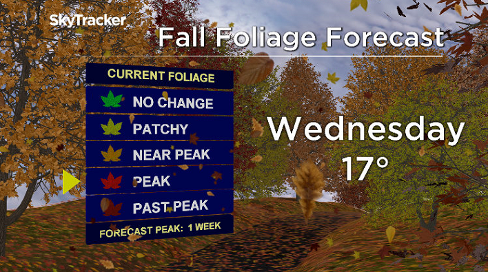
Sensational sunshine and fall heat get back in full swing across the Okanagan this week.

The sunshine and mid-teen daytime highs moved in over the weekend, providing perfect conditions for enjoying the fall foliage as it begins to reach its peak.
Overnight lows dipped down to -2 with frost Sunday and Monday mornings before hopping into the mid-teens in the afternoon under pure blue skies and sunshine.

Get daily National news
Clear nights will continue to bring in patchy frost all week, so it might be time to harvest vegetables and bring in any frost-sensitive plants from the garden.
After starting out the day around the freezing mark on Tuesday, another round of sunny skies gets back into full swing during the day, helping temperatures reach back into the mid-teens in the afternoon.
The heat and sunshine is all being brought in by a big pool of warm air in the upper atmosphere known as an upper ridge of high pressure, which will gradually flatten mid-week.
As it does, a few more clouds may filter in late Wednesday into Thursday, but sunshine will still be dominant early Wednesday and at times during the day Thursday.
Afternoon highs will still manage to get into the 17 to 18 degree range right through the rest of the week as the upper ridge rebuilds into the weekend under mostly sunny skies.

Temperatures are expected to hold out near the freezing mark in the mornings and into the mid-teens right into the weekend with another round of sensational sunshine slated for both Saturday and Sunday.
It appears that this will be the warmest week of October with long-range models showing daytime highs gradually dipping back next week into the end of the month.

For weather on the go download the Global News SkyTracker Weather App for iPhone, iPad or Android.


Comments