
Heat warnings were issued across southern Manitoba Friday as humidex values are expected to be in the 40s Friday and Saturday.

Saturday’s temperatures around the Red River Valley will be in the mid 30s and the humidex values in the mid 40s. This extreme heat and humidity just needs a small trigger to create thunderstorm activity.
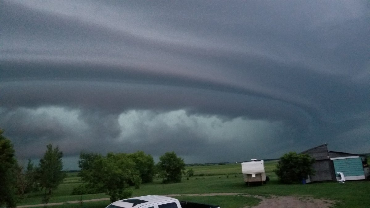
The trigger for thunderstorms looks like it will arrive early Saturday evening around the Red River Valley area as a cold front passes over the region.
Thunderstorm activity is expected to be isolated but have the potential to rapidly develop and produce severe weather threats.
The areas most at risk are highlighted here in the thunderstorm outlook from Environment and Climate Change Canada.


According to Environment and Climate Change Canada, storm activity could begin around 7 p.m. CT.
In the eastern regions of the province and the Red River Valley, thunderstorm risks include the very large hail (5-8cm), wind gusts up to 120 km/h, and the risk of tornado activity.
Elsewhere, the thunderstorm threats are wind gusts up to 100 km/h and hail (2-4 cm).
In behind the cold front, temperatures are expected to stay high, around 30 degrees Celsius. The humidex values however will be lower.
- ‘Shock and disbelief’ after Manitoba school trustee’s Indigenous comments
- Canadian man dies during Texas Ironman event. His widow wants answers as to why
- Several baby products have been recalled by Health Canada. Here’s the list
- ‘Sciatica was gone’: hospital performs robot-assisted spinal surgery in Canadian first
Comments