A flood of advisories have been issued for the Shuswap as a result of rising rivers.

The B.C. River Forecast Centre has issued a flood watch for the Shuswap River and the Salmon River is a growing concern.
“The Shuswap River has increased considerably in the past week due to increased releases from BC Hydro at Sugar Lake Dam. The releases have increased the Shuswap River downstream near Lumby and Enderby,” the Centre said in a news release.
BC Hydro clarified that it is not deliberately releasing water from Sugar Lake Dam. The utility said that the dam spilled automatically as it does each year once its reservoir fills to capacity.
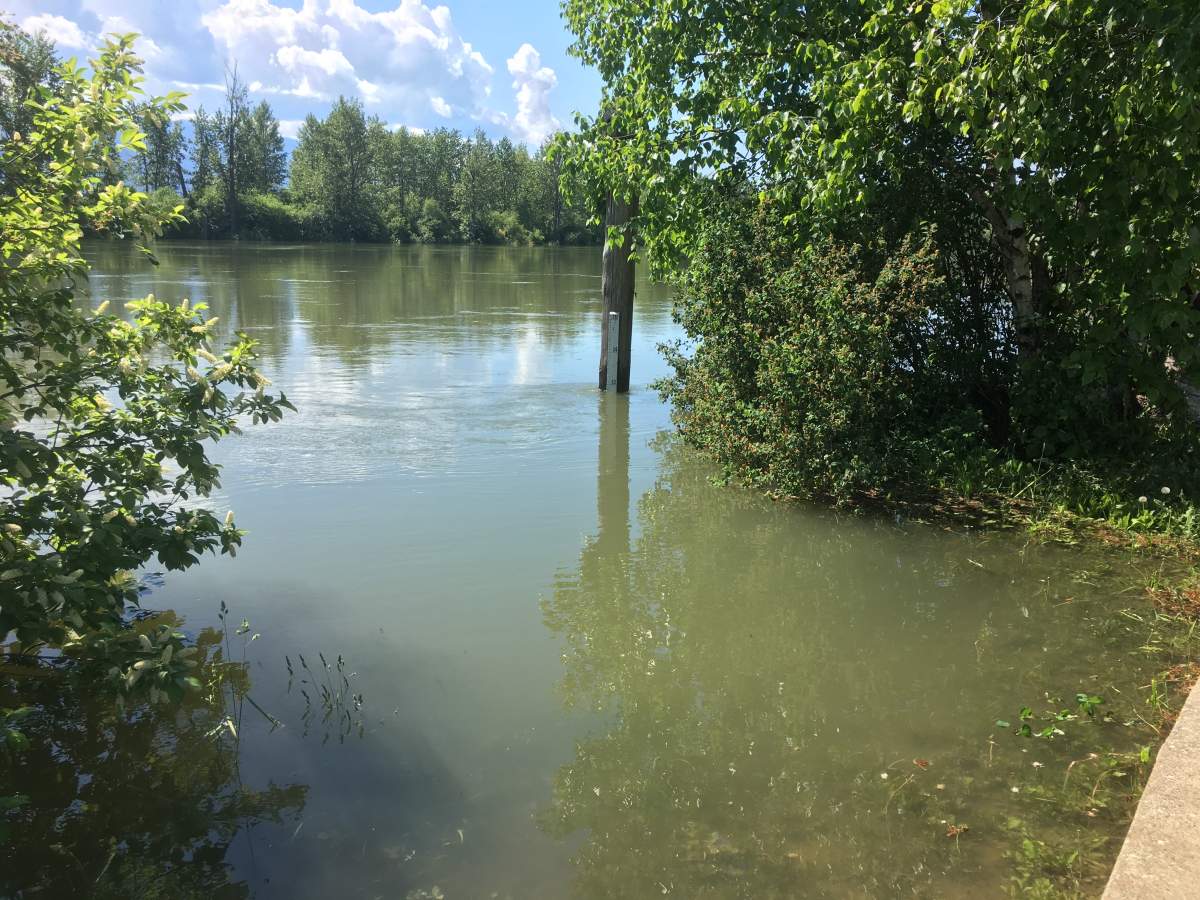
The City of Enderby said the water level in the Shuswap River was 5.139 meters on Sunday (compared to 5.102 on Saturday) and the discharge rate was 503 m3/sec on Sunday (compared to 495 m3/sec on Saturday).
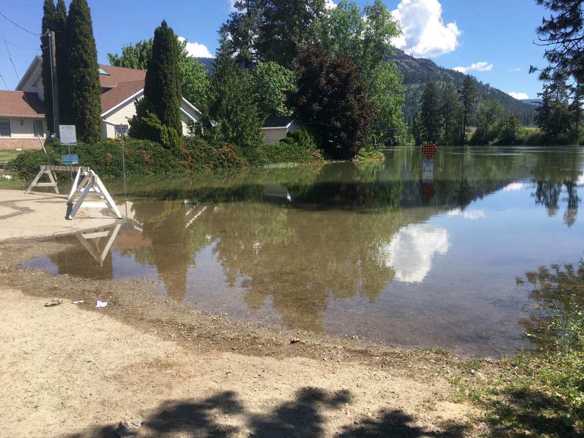
“Portions of the Riverwalk are submerged and marked off with cones or signs. The Belvedere hand launch and the transfer pump lookout east of the Water Treatment Plant on Railway Avenue are also submerged,” the City of Enderby said in a statement.

Get breaking National news
The B.C. River Forecast Centre has also issued a flood warning for the Salmon River near Falkland and Salmon Arm.
The centre said the Salmon River near Salmon Arm was flowing at 55 m3/s on Friday (20-year flow) and dropped Thursday night due to cooler temperatures.
The good news is officials with the forecast centre feel that the risk of the Salmon River flooding just because of the inflow from snowmelt has now passed. The centre said the ongoing risk of flooding is associated with widespread rainfall.
“There is still a risk of further showers or thunderstorms in the next few days in the Okanagan, Similkameen, South Thompson, but the likelihood is the rainfall will be localized and not widespread. Temperatures are expected to increase starting on Monday and become very warm by mid next week,” the centre said.
It said snowpacks are dwindling at mid-elevation and south-facing aspects, with approximately 10% of snow remaining at the Greyback Reservoir automated snow weather station.
“At higher elevations, 60-80% of the annual snowpack remains,” the centre said.


Comments