
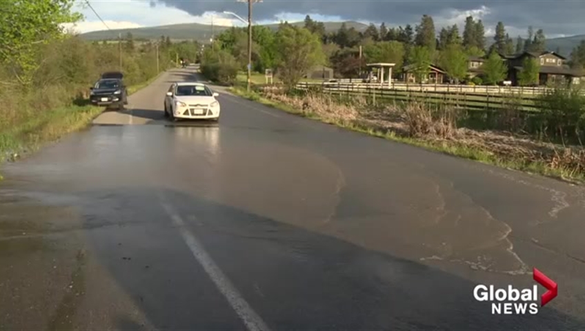
As the Okanagan Valley remains on flood watch, Central Okanagan Emergency Operations said Kelowna’s Mission Creek reached a record flow rate Wednesday night.

By the middle of next week even more water is expected to be rushing down the creek.
“Levels were actually peaking Wednesday night on Mission Creek. They reached the same level that was reached during the 2013 flood peak,” Global Okanagan meteorologist Peter Quinlan said.
“They are now starting to lower back down to levels that are a little bit more seasonal at this time of year and then they will actually rise back up.”


Quinlan said the water level is expected to rise again by the middle of next week as warm weather accelerates snow melt in the mountains where there is still two to three meters of snow at some sites.
Central Okanagan Emergency Operations said that flood mitigation infrastructure like dikes and tiger dams were able to contain Wednesday’s peak flow and officials are continuing to bolster the flood protection already in place.
Comments