
Water levels are starting to rise in Manitoba, but the province maintains the risk of widespread major flooding remains low.

River water levels started to rise over the weekend.
The river walk at The Forks was under water as of Monday. Chelsea Thomson, manager of marketing and communications, said it’s nothing new and this is a normal spring.
Every year the attraction prepares for floods but according to Thomson, crews have to wait for the water levels to go back down before they can clean up the area.
“When the water drops it’s just a lot of that sort of heavy clay stuff and you can’t see the river walk anymore, so we clear that off. It sometimes requires backhoe work and a lot of pressure washing,” Thomson said.
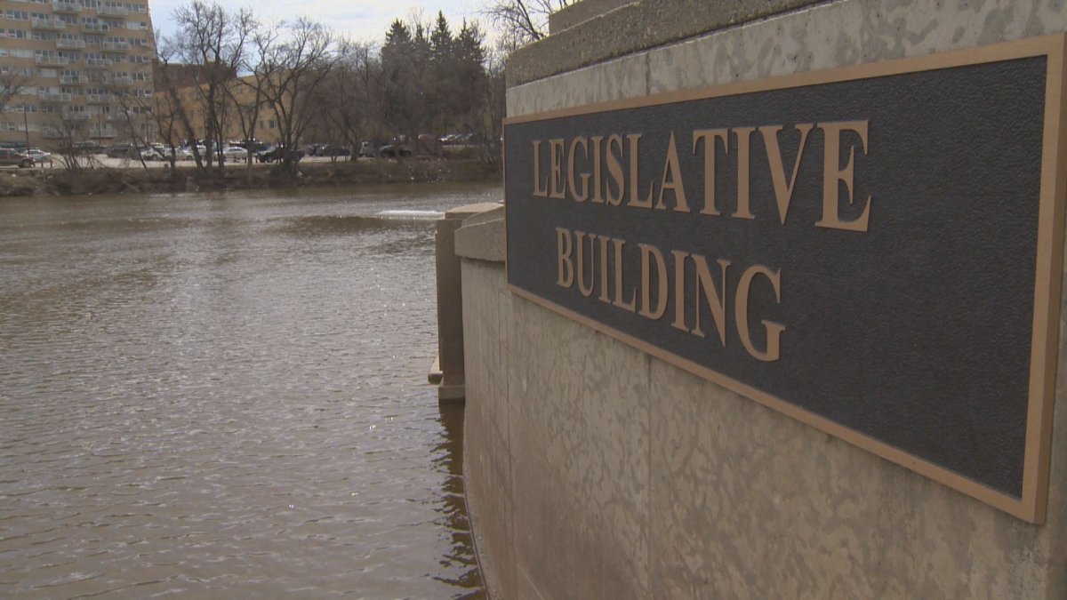
The rise on the Red River in Winnipeg at James Avenue is normal and is expected to increase between three and four feet per day, according to the province.
The province released its latest Hydrologic Forecast Centre of Manitoba Infrastructure report which said ice is expected to break up and move this week.
The Red River is expected to crest in Winnipeg as early as this weekend which means we can expect the river to rise about another seven ft until then.
- Ontario First Nation declares state of emergency amid skyrocketing benzene levels
- Singh mulls TikTok return as U.S. nears potential ban over security fears
- More financial institutes are offering crypto-services, survey shows
- Possible TikTok ban in U.S. looms after Biden signs bill, setting up legal fight
As for the Floodway gates, they haven’t been activated yet but if they do a notification would go out.
“The Floodway will not be used until all the ice clears in either case because the big ice pieces coming down the river could damage the Floodway substantially so it wouldn’t be for another two to three days. If we’re going to use the Floodway a notification would go out,” infrastructure minister Ron Schuler said.


Early predictions see the Red River peaking between April 27 and May 2 at Ste. Agathe at approximately 50,000 and 60,000 cubic feet per second. It will take about 48 hours for the peak to reach Winnipeg.
The water level at James Avenue within the city is expected to crest at 19 ft but some river ice may still move through the city.
The Portage Diversion could end up being used for ice control along the lower Assiniboine River.
Ice jams could play a larger role in this year’s spring flood because ice is thicker than normal this year on some of Manitoba’s rivers and streams.
The province said the risk of major flooding in the Interlake region and Lakes Winnipeg, Manitoba and Dauphin as well as the Whiteshell lakes is low.
However, because the spring melt and ice movements vary across Manitoba, the province is reminding people to stay off water bodies.
Comments