
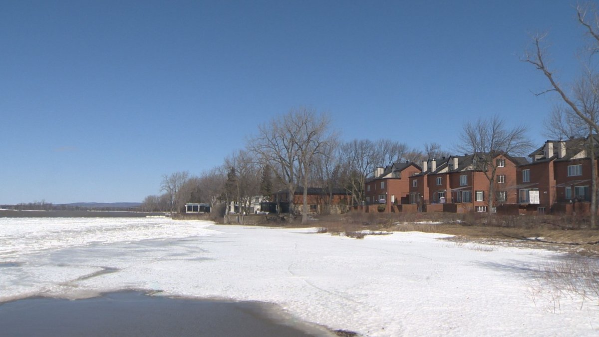
Julie Denoncourt is a Senneville resident who has to go through Ste-Anne-de-Bellevue often — her children attend school in the West Island town. She remembered what flooding looked like last year and she’s been looking at the water levels of Lac St-Louis.

“Just down by the locks, the road was completely blocked off so you couldn’t go down the main drag here,” she said, pointing to a dry street that was underwater last year. According to Environment Canada, water levels of the lake are currently about 20 cm higher than normal.

Get daily National news
But there is no reason to panic, at least not yet — other Montreal waterways like the Ottawa River are lower than normal, meaning levels can currently remain under control. “We’re a foot below where we’d expect flooding to occur on Lac St-Louis,” said Gail Faveri of Environment Canada.


Officials of Ste-Anne-de-Bellevue and Pierrefonds-Roxboro have purchased tens of thousands of sandbags in an abundance of caution, and several West Island jurisdictions are distributing flyers with flood prevention information following 2017 that saw historic deluges cover the landscape.
“We figured we could make people a little more comfortable by delivering two palettes of sandbags to people either affected by flooding or fearful they’d be affected,” said Ste-Anne-de-Bellevue Mayor Paola Hawa.


Comments