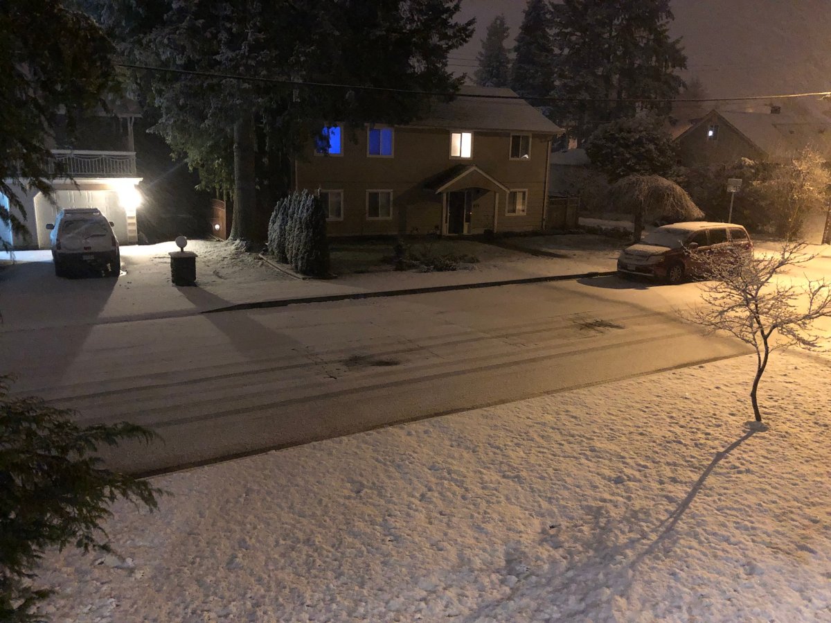
The “S” word is back in the forecast for parts of Metro Vancouver this weekend.

Global BC meteorologist Mark Madryga says it has been primarily raining across the region on Friday, except for wet snow at higher elevations. Conditions will continue to dry up Friday with a few breaks of blue sky in the afternoon and clear periods Friday evening.
But conditions are expected to change Saturday and Sunday and Madryga says snow is on the way.
“Certainly it looks like rain right down at sea level Saturday but snow, maybe 100 or 200 metres above sea level, and that would capture higher parts of the urban areas of Metro Vancouver,” says Madryga.
Wet snow accumulations in the order of 10 centimetres are possible at the higher elevations of Metro Vancouver and the Fraser Valley.

Get breaking National news
Snow will fall near and north of Squamish.
During Saturday afternoon, the precipitation will ease considerably in Metro Vancouver. Madryga says rain or mixed rain and snow will continue in the Fraser Valley.
Arctic air will begin to pour out of the B.C. Interior Saturday night. Strong, cold Arctic outflow winds will develop in the Fraser Valley and Howe Sound. Snow showers are likely Saturday night through early Sunday in the Lower Mainland at all elevations, with several centimetres of accumulations possible.
Clearing will kick in Sunday with some continued cold northeast wind and some isolated flurries.
Madryga says the clear and very cold weather will hold Monday and Tuesday with lows down to -8 C.


Comments