

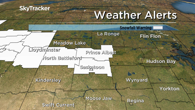
UPDATE: Snowfall warning continued for west-central Saskatchewan

Environment Canada has issued a snowfall warning for the Saskatoon, Prince Albert and North Battleford areas for up to 20 centimetres of fluffy snow.
A low pressure system in southern Alberta will move into southern Saskatchewan, giving some light snow to the northern grainbelt Thursday afternoon.
The weather disturbance will intensify, bringing heavy snow to the warned areas Thursday night.
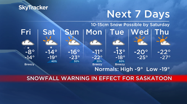
There will be a wide range of snowfall totals, but generally around 10 to 15 centimetres should be expected for most areas before Friday morning.

The area of snow will continue moving eastward and the snowfall warning may be extended towards the Manitoba boundary for heavy snowfall on Friday.
This weather system will also bring unseasonably mild temperatures Thursday and patchy freezing rain Thursday evening to the southern grainbelt.
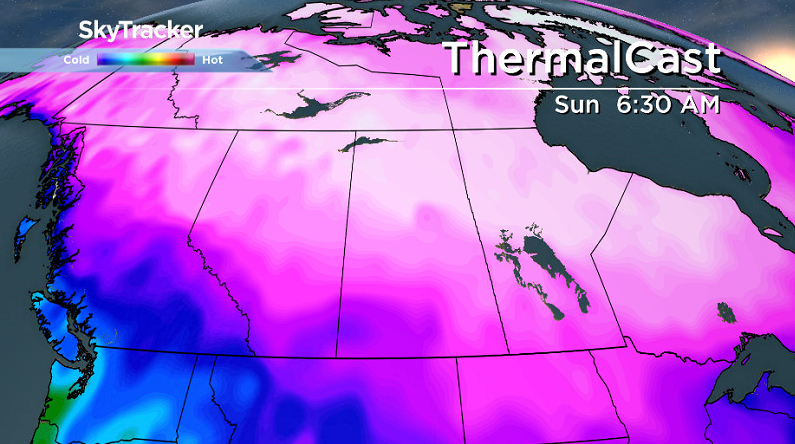
Below normal temperatures will return to most of southern Saskatchewan for the weekend in the wake of this disturbance.
For the latest weather alerts download the Global News SkyTracker Weather App for iPhone, iPad or Android.

Get breaking National news
Saskatoon Forecast
Thursday
It was a mostly cloudy start to the day in Saskatoon with temperatures dipping back into minus double digits overnight with wind chills as cool as -19 at times.
We managed to make it up into minus single digits before noon with a breezy northeasterly wind at times.
Clouds linger through the rest of the day with the mercury nudging up a bit further up into mid-minus single digits with a slight chance of flurries.
Thursday Night
The fronts associated with the system moving in will bring in snow during the evening with breezy winds at times reducing visibility as snow picks up and we cool back into minus double digits overnight.

Friday
Up to 10 to 15 centimetres of snow could fall overnight, which could create treacherous road conditions, so be sure to check in with the Highway Hotline before heading out and give yourself extra time to get to where you need to go in the morning.

A fresh blanket of snow will greet us Friday with some still falling during the day with a few more centimetres possible as cloud cover sticks around and we sit around -12 with wind chills in the -20s during the day.


Weekend
Snow could linger early Saturday as an upper level front behind the system slips through before we sit under mostly cloudy skies with a slight chance of a bit of late day clearing with clouds and a slight chance of flurries sticking around on Sunday as well.

Colder than normal temperatures will also drop in behind this system with daytime highs in the mid-minus teens this weekend and lows dropping back into the -20s Sunday.
Work Week Outlook
-30 wind chills are possible Monday morning with lingering cloud cover before another system swings in that could bring in some snow on Tuesday before arctic air slides us daytime highs back into the -20s mid-week.
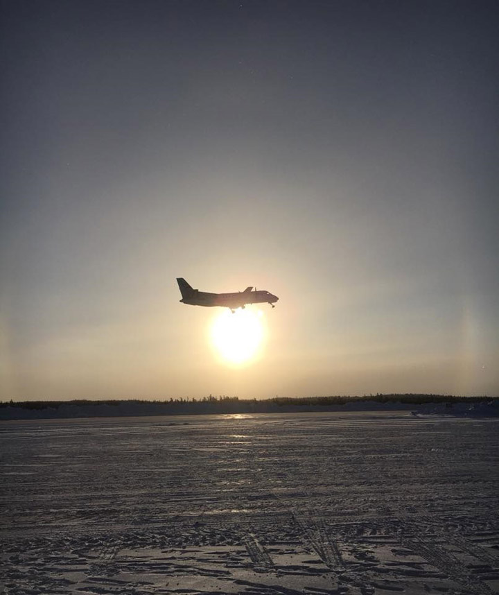
Norma Laliberte took the Your Saskatchewan photo for Jan. 25 at the Key Lake airport:
READ MORE: It’s your last chance to get a 2018 Your Saskatchewan Calendar and support a great local charity
Saskatoon weather outlook is your source for Saskatoon’s most accurate forecast and is your one stop shop for all things weather for central and northern Saskatchewan with comprehensive, in depth analysis that you can only find here.
Comments
Want to discuss? Please read our Commenting Policy first.