
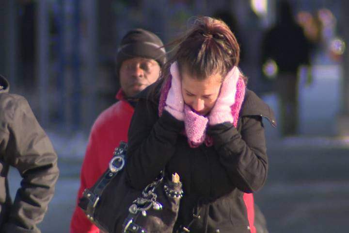
Another day of bone-chilling temperatures is expected in the London region Friday, and that’s pretty much the case across the entire province.

London — and most of Ontario — is under an extreme cold weather warning.
At times today, the wind chill will make it feel like -33 in the city, not bad considering parts of northern Ontario will feel like -50.
Environment Canada has also issued a snow squall warning for London, Parkhill, Komoka, Strathroy, as well as Eastern and Western Middlesex County.
Environment Canada Meteorologist Rosemary Tabory says the snow squalls are developing over Grand Bend and extending towards Komoka and expects areas west of London to be hit the hardest.
“It’s definitely wreaking havoc on road conditions in the area, we expect those snow squalls to continue through the day, starting to ease off later tonight into tomorrow.”

Get daily National news
The OPP shut down Highway 402 in both directors Thursday, between Highway 401 in London and Nauvoo Road in Watford after several collisions and persistent whiteout conditions.
Tabory expects the region will get 15 centimetres of snow today, with up to 15 centimetres expected again tonight, and another 10 centimetres tomorrow.
She says the cold temperatures are expected to last through the weekend.
“It’s a very cold air mass that’s come down from the Arctic, and it’s pretty much covering all of Ontario,” said Tabory.


“If you don’t have to go out, don’t. Stay home, stay warm, limit your travel as much as possible.”
She says London should see warming temperatures, around -5 C, by Monday.
The Middlesex-London Health Unit is extending its cold weather alert until Monday. It was initially expected to lift Saturday morning, but with highs of -16 C and -8 C over the weekend, the decision was made to extend it.
The health unit is also warning the public about the dangers of hypothermia and frostbite during these bouts of cold weather.
The low for Monday reached -22.2 C according to an Environment Canada bulletin, which tied the 1974 record and is a far cry from the average low of -9.4 C. The overnight low is forecast to reach -23 C, which is 2 C shy of the 1970 record for lowest temperature on January 6 of -25 C.
The temperature is forecast to reach -8 C early Sunday and to hold throughout the day before rising to -1 C on Monday.
With files from 980 CFPL’s Jacquelyn LeBel.
Comments
Comments closed.
Due to the sensitive and/or legal subject matter of some of the content on globalnews.ca, we reserve the ability to disable comments from time to time.
Please see our Commenting Policy for more.