

Soak up the warm air because arctic air will return soon.

Warm & Dry December 2017
Despite the frigid finish to the year with daytime highs -20 or colder and wind chills of -30 to -40 for the final seven days of the month, December 2017 ended up being slightly warmer than normal in Saskatoon.
Daytime highs averaged out just over half a degree warmer than normal with morning lows 1.2 degrees above seasonal.

We did record Saskatoon’s coldest day of 2017 during the month, on Dec. 30 when the mercury plummeted to -36.5 degrees.
It was also a much drier than normal December, with just over half of the city’s normal precipitation recorded at the airport during the period.
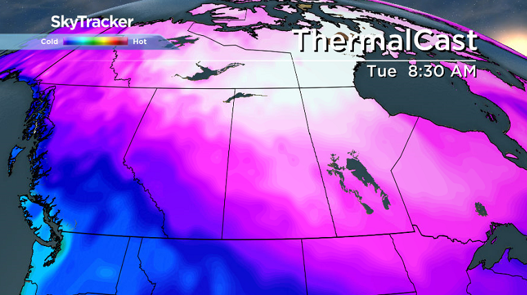
Saskatoon Forecast
Wednesday
-19 wind chills is where Saskatoon started the day as temperatures dipped back into the minus teens under mostly cloudy skies.
Some sunshine spilled into the region during the morning, which helped warm us up into minus single digits before noon.
Partly to mostly sunny skies continued through the remainder of the day with the mercury popping up a few degrees further for an afternoon high of -6.
Thursday
-20 is around what it’ll feel like with wind chill in the morning with mostly cloudy skies and a chance of flurries to start the day.
That chance of snow diminishes during the day, but returns in the evening, with a daytime high once again spiking into minus single digits as a stationary frontal boundary draped over the area slides slightly further east.

Friday
We could catch a bit more sunshine to round off the week with winds picking up a bit as the frontal boundary edges closer to our area.


Temperature-wise we should once again top out in minus single digits with areas just northeast of the city stuck in minus double digits all day as they sit on the cool side of the front.

Weekend Outlook
A system swinging through this weekend will bring in a good chance of snow late Saturday into Sunday with daytime highs staying in minus single digits before arctic air dives back in next week.

Jason Whiting took this Jan. 3 Your Saskatchewan photo in Lloydminster:

Saskatoon weather outlook is your source for Saskatoon’s most accurate forecast and is your one stop shop for all things weather for central and northern Saskatchewan with comprehensive, in depth analysis that you can only find here.
Comments