
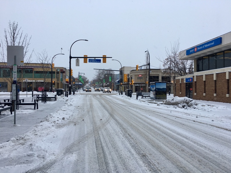
A special weather statement has been issued by Environment Canada for the entire Okanagan Valley with up to 10 centimetres of snowfall forecast on Thursday.

“Arctic air in place over the interior will combine with moisture advancing from the Pacific to give steadier snow beginning this evening,” says the alert.
Two to four centimetres of the white stuff will fall today and a stronger weather system will result in more snow with amounts of 5 to 10 centimetres tomorrow.
Travellers are also being warned of snow forecast for the interior highway mountain passes.
Cindy Yu, meteorologist with Environment Canada, says “the difficult time to travel will be tonight through Thursday.”
Fifteen centimetres of snow is expected to fall on the Coquihalla Highway between Hope and Merritt by tonight and an additional 10 to 15 centimetres by Thursday afternoon.
“We are looking at some warmer air moving across cooler land so there is a risk of freezing rain near Hope… so if you’re travelling from the Lower Mainland to the Okanagan there is the risk of freezing rain for Thursday.”


The Okanagan Connector between Merritt and Kelowna will get less snow with up to four centimetres forecast tonight and 10 centimetres on Thursday.
Up to 10 centimetres of snow is also forecast to fall on highway 3 from Hope to Princeton via Allison Pass tonight and up to 15 centimetres tomorrow.
A winter storm warning has been issued for the Fraser Valley and a snowfall warning for Metro Vancouver with up to 15 centimetres of snowfall expected.
- Canadian man dies during Texas Ironman event. His widow wants answers as to why
- ‘Shock and disbelief’ after Manitoba school trustee’s Indigenous comments
- Several baby products have been recalled by Health Canada. Here’s the list
- ‘Sciatica was gone’: hospital performs robot-assisted spinal surgery in Canadian first
Comments