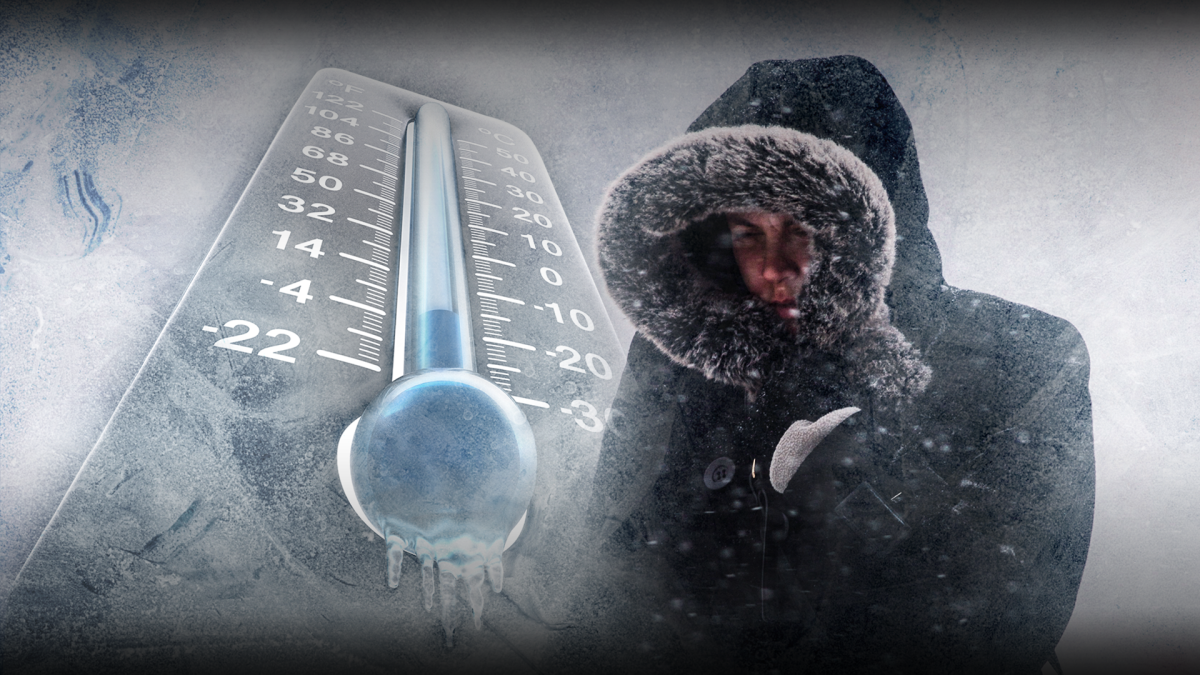
WINNIPEG — The extreme cold warnings issued by Environment Canada ended Wednesday as temperatures across Manitoba warmed slightly. Daytime temperatures across the province were expected to reach -25 C, while areas in the far north could see numbers closer to -30 C. Wind chills however, could make these regions feel like -30 and -40 respectively.

The slight warm up is thanks to a low pressure system that is expected to move into Manitoba Wednesday evening, according to Environment Canada. This could bring periods of light snow to southern Manitoba as early as Wednesday night and into Thursday. Wind chills may not be extreme but expect values to stay steady in the -30s.
By Friday morning, Environment Canada expects extreme wind chill values to return across the province. The department says these frigid conditions will continue into the new year with warmer temperatures predicted for the first week of January. However, weather models are not consistent as to exactly when the warm up will start, or by how much.


READ MORE: Environment Canada issues extreme cold warnings for parts of Manitoba
These colder than normal temperatures, according to Environment Canada, are thanks to a ridge of high pressure in Alberta that’s pumping cold arctic air into Saskatchewan and Manitoba. Winnipeg typically sees daytime highs of -12 C and lows of -23 C at this time of year.
Extreme Cold Warnings are issued in the southern Manitoba when wind chills reach -40. For areas in the north, the criteria is -45 or colder.
Comments