

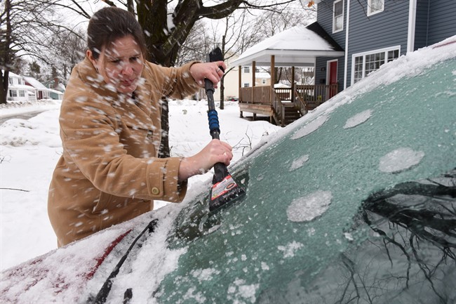
Londoners are bracing for a spell of nasty winter weather, with a combination of rain and snow expected Thursday night.

Environment Canada has issued a special weather statement for London and much of southwestern Ontario, reaching as far north as Peterborough and as far south as Windsor.
The weather agency is warning commuters about a potentially messy and slow commute home from work Thursday and again the next morning, as a low pressure area is expected to track towards the Great Lakes Thursday, travelling from the Southern Plain States. The weather agency expects snow to arrive during the day, before possibly turning into freezing drizzle or freezing rain and snow at night.
Chief Meteorologist for Global News, Anthony Farnell, expects the brunt of the messy mix not to hit London.
“Most of the snow and preciptation is going to be just north of the London area, there still could be a couple of centimeters and we’re concerned about some freezing drizzle or light freezing rain for a time Thursday night into early Friday.”


The latest from Environment Canada says snowfall could range from just a coating of snow, up to 5 cm, before a transition into freezing drizzle and freezing rain. Near Lake Erie, rain is possible on the shore areas if the temperatures reach above the zero-degrees mark.
The mix of snow and rain is expected to taper off slowly Friday, as the system passes by just to the south of Lake Erie.
- Toronto Pearson gold heist: Ontario man arrested at airport after arriving from India
- ‘FLiRT’ COVID-19 subvariant dominant in Canada. What to know about the strain
- Capital gains changes could have ‘irreversible’ effects, business groups warn
- Renters so far more ‘vulnerable’ than homeowners amid higher interest rates. Why?
Comments