
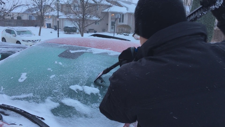
Manitoba will be feeling the effects of a low pressure system moving in from the West Thursday and Friday.

Snowfall and freezing rain warnings stretch across the prairies and into northern Ontario.
Northern Manitoba will see most of the precipitation.
Snowfall warnings were issued for parts of northern Manitoba with 10 to 15 centimetres likely by Friday afternoon. The heaviest snowfall will be taking place Thursday evening.
Areas under a snowfall warning include:
- Brochet
- Lynn Lake
- Leaf Rapids
- Pukatawagan
- Thompson
- Nelson House
- Split Lake
Further south, freezing rain warnings stretch across central Manitoba with freezing rain possible starting Thursday afternoon and through Friday. Areas under freezing rain warnings include:
- Berens River
- Little Grand Rapids
- Bloodvein
- Atikaki
- Grand Rapids
- Waterhen
- Poplar River
- The Pas
- Wanless
- Westray
- Clearwater Lake Provincial Park
In southern Manitoba, the conditions will vary a bit more.
A warm front moving across southern Manitoba will allow temperatures to rise through Thursday evening into Friday morning.


Friday morning will likely be above 0 degrees Celsius. Early Friday morning, light rain is likely in the south along with some very strong winds. Winds will be gusting close to 70 kilometres per hour. Precipitation amounts will be fairly light in southern Manitoba with models suggesting around 5 millimetres of rain is possible.
A cold front moving through in the afternoon will cause temperatures to drop earlier in the day, before the sun sets. As the cold front passes, there is again a chance of precipitation with flurries or showers possible.
- Posters promoting ‘Steal From Loblaws Day’ are circulating. How did we get here?
- Video shows Ontario police sharing Trudeau’s location with protester, investigation launched
- Canadian food banks are on the brink: ‘This is not a sustainable situation’
- Solar eclipse eye damage: More than 160 cases reported in Ontario, Quebec
Comments