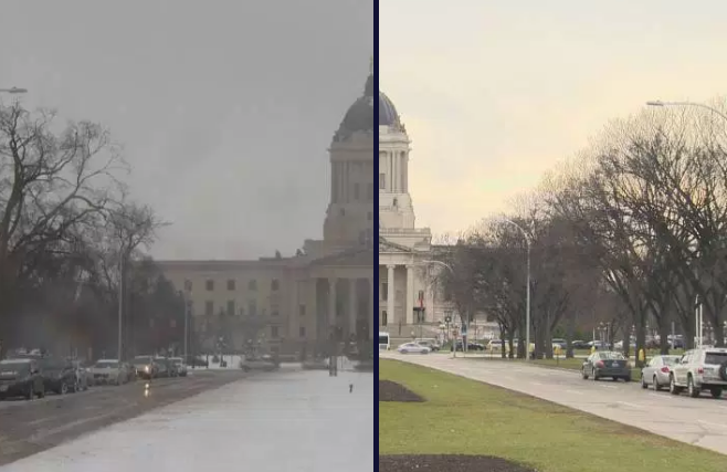
WINNIPEG– Shovels will be out for the first time this weekend with snow on the way across southern Manitoba.

A low pressure system will be moving east, just south of the international border. This system has prompted snowfall warnings and winter storm warnings in parts of southern BC and Alberta where up to 40 cm is expected by the end of Friday.
Snowfall warnings were issued by Environment Canada for parts of southern Saskatchewan and Manitoba around the Parklands Friday morning. Warning areas include Dauphin, Russell, Roblin, Winnipegosis, Minnedosa, Riding Mountain National Park, Ste. Rose, McCreary, Alonsa, Gladstone, Swan River, Duck Mountain and Porcupine Provincial Forest, where 10 to 15 cm of snow is expected by Saturday afternoon. Some of these areas could end up in the 15-25cm range.

Get breaking National news
Snowfall warnings were extended through the rest of southern Manitoba and through the Interlake Friday afternoon.
General snowfall amounts appear to be in the 10 to 15 cm range.
Snowfall warnings are issued when snowfall is expected to total 10 cm or more in a 12 hour period.
Saturday night and through Sunday, the system will head northeast through southeastern Manitoba towards Hudson Bay. Some flurries are possible on the backside of this system as well as some lake effect precipitation.
Behind this system, high pressure will build which will lead to clearer conditions and also cooler temperatures early next week.


Comments