

Winter weather has arrived in Metro Vancouver and beyond.

That much was obvious from social media posts that showed snow falling on areas as disparate as UBC and Chilliwack on Thursday afternoon.
A snowfall warning was issued for the Fraser Valley, where as many as five centimetres of snow were expected to fall. And though the snow was expected to ease on Thursday night, flurries were still possible overnight.
Chilliwack alone was hit with its heaviest and earliest November snowfall in more than 29 years, with 10 centimetres falling up to 6 p.m.
The last November snowfall in Chilliwack happened six years ago, when 10 centimetres fell on Nov. 17, 2011.
Winter conditions arrived as an Arctic front came through B.C.’s South Coast and a low-pressure system flying over Vancouver Island brought “strong gusty outflow winds through mainland valleys and inlets,” according to Environment Canada.
A wind warning was issued for Howe Sound close to Bowen Island, with winds blowing at speeds of anywhere between 70 km/h and 90 km/h expected right up to Friday.
READ MORE: Snowfall warning issued for Coquihalla, Highway 3, Whistler, Sea to Sky Highway
The wintery conditions were expected to make driving difficult on Thursday night, with wet snow or a mix of rain and snow expected up until 6 p.m., according to Global BC senior meteorologist Kristi Gordon.

Get daily National news
The snow wasn’t expected to pile up on the roads but slippery and slushy conditions were anticipated.
In Downtown Vancouver, the snow wasn’t readily apparent, but there was enough moisture to create this giant puddle near Howe and Nelson Streets:
Taryn Scollard, the City of Vancouver’s director of streets, said the city “proactively sends crews” to check basins that are known to be “prone to flooding.”
“We have more than 44,000 catch basins in Vancouver, and we appreciate when residents help by clearing the catch basins by their homes so that water can drain away; often it’s as simple as scraping a handful of leaves away with your foot or a stick as this can go a long way to preventing flooding.”
Waiting on the night
The precipitation throughout the region was expected to clear up around 7 p.m., Gordon said.
But until then, wet snow was anticipated in areas such as Maple Ridge and Abbotsford, with the white stuff expected to accumulate on the ground even at lower elevations.
A mix of rain and snow was expected in Metro Vancouver heading toward Langley, while rain was projected further west in the region.
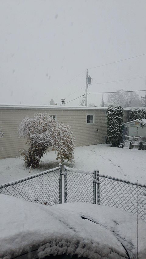
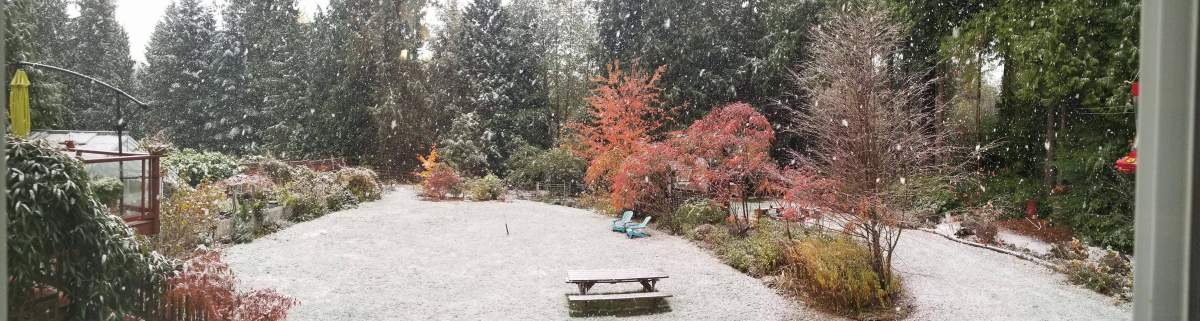
Here are some images of what the snow looked like in Metro Vancouver and elsewhere on Thursday afternoon:
This image was captured by Sheilah Powers in Roberts Creek:
This photo was taken in Mission at about 5 p.m.:
Further east in Hope, the snow looked like this:

This one was taken on Sumas Mountain in Abbotsford:
Snow even showed up in Nanaimo, on Vancouver Island:
- With files from Kyle Benning
Comments
Want to discuss? Please read our Commenting Policy first.