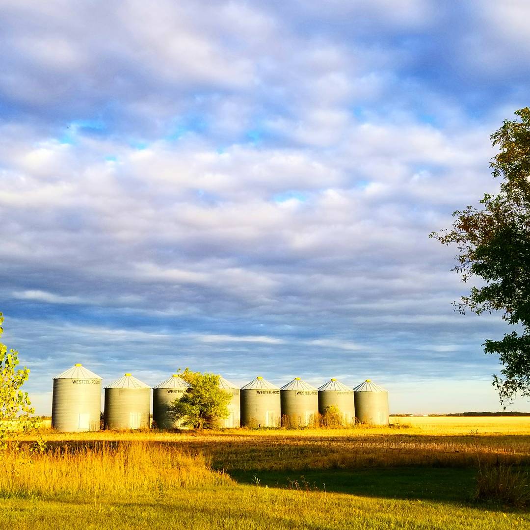
After the first snowfall of the season on Saturday, temperatures are on the rise with the southern Prairies expected to be the hot spot in the country at least once this week.

This week, temperatures should be staying well above normal. Typically, daytime highs around Winnipeg will be near 10 degrees Celsius. The coolest days should be in the mid teens.
RELATED: Damaging winds expected in southern Manitoba on Wednesday
Tuesday will be one of the warmest days of the week with temperatures across southern Manitoba expected to be around 20 C in the afternoon. This will be a day where temperatures will be warmest in the eastern Prairies with a chance of some place in southern Manitoba ending up as the hot spot in the country.
Wednesday will be a bit cooler than Tuesday but more noticeable than the temperatures, will be the winds. There will be a low pressure system in northern Manitoba which will be bringing rain and snow to the northern portions of the province. In the south, skies will stay fairly sunny with strong winds.
Temperatures will warm up once again towards the end of the week with a chance of seeing temperatures getting over 20 C in Winnipeg on Friday. Again here, there’s a chance somewhere in southern Manitoba ends up as the country’s hot spot.


Comments