
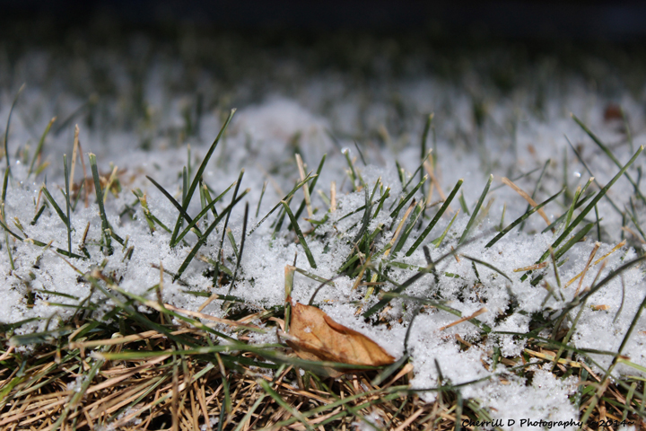
Snowflakes will fly Friday night in southern Manitoba for the first time this fall season.

After a clear but cooler Friday, temperatures in southern Manitoba are expected to drop close to the freezing mark by Saturday morning. South of the border, low pressure will be developing and will likely bring some flurry and shower activity to parts of southern Manitoba.

Get breaking National news
In Westman, precipitation will likely run as far north as the Trans Canada Highway. Around southeastern Manitoba, the precipitation will likely stretch a little further north, possibly up to the south basin of Lake Winnipeg and Lake Manitoba.
Precipitation amounts generally look light. Up to 5 mm of rain with varying snowfall amounts. It is likely parts of southwest Manitoba will see around 5 cm of snow while amounts will generally be minimal for Winnipeg and the southeast. However, there are some models which indicate some slightly higher amounts could fall. The NAM model has 7 cm falling in the Winnipeg area but this model seems to be an exception to the general consensus of little snow for the Manitoba capital.


https://twitter.com/MikeKoncan/status/918883454997139456
Clearer conditions will follow Saturday with warmer temperatures returning next week.
https://twitter.com/MikeKoncan/status/918619012669505536


Comments