

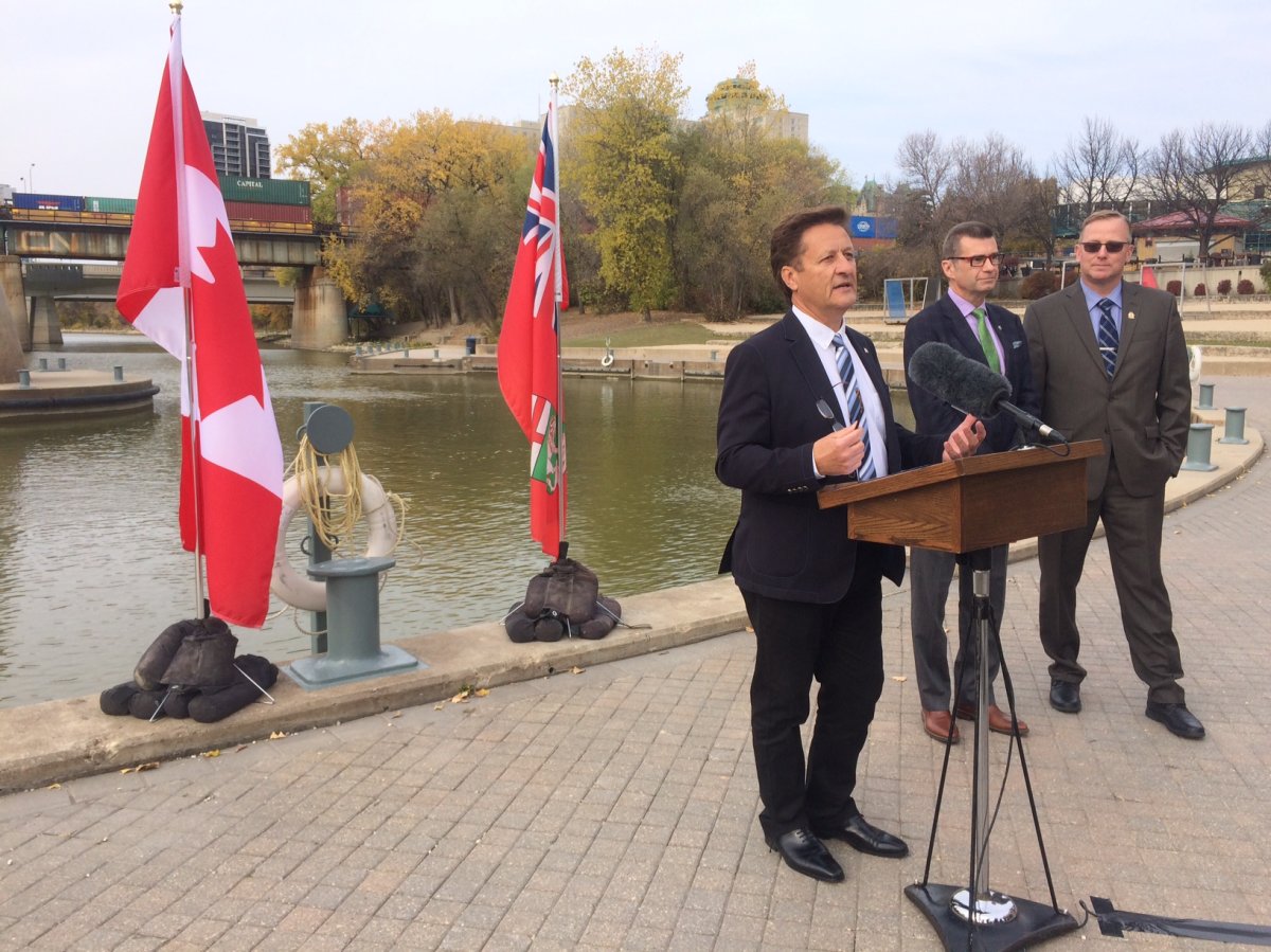
The federal government reiterated its commitment to protect Manitoban communities against flooding Thursday, as it announced it is giving $794,520 to the province over the next three years to help map its flood-prone areas.

Manitoba is known for having severe floods, including the Red River flood in 1997 that saw water levels rise 12m above their normal winter average.
READ MORE: 5 of the worst floods in Canadian history
This year hasn’t seen significant flooding, but as Ron Schuler, Minister of Manitoba Infrastructure said on Thursday, it’s not a case of if but when with regards to future floods.
“Even though we’ve had one of the nicest summers, a very dry summer, we do know that whether it’s tomorrow, or a week, or a year, there’s a good chance at some point in time we’re going to face another flood event,” Schuler said.
The funding comes as part of the National Disaster Mitigation Program (NDMP) and will serve to map the three Manitoba watersheds identified as high risk.

Get daily National news
The lower Assiniboine River, from Portage la Prairie to just outside of Winnipeg, along with the Whitemud River and the Souris River will be mapped using Light Detection and Ranging (LiDAR) remote sensing.
The topographic data collected will produce maps that give information on flood-prone zones that can help inform planning decisions and mitigate risks in advance of disasters.


Schuler said this mapping is much needed, and will support communities going forward.
“I think we have to be a little bit smarter about where we build,” he said. “Around Lake Manitoba, if you talk to a lot of the Metis groups, they have a saying that you should never build within one kilometre of Lake Manitoba – and that was said way before the lake ever did flood.”
“Clearly there is historical data, but this will give us the real science behind where you are in danger if you’re going to be building any kind of development.”
This project is estimated to cost $1.6 million, with the provincial government paying the remainder of the cost. The federal government shares up to 50 per cent of the costs associated with the province for NDMP initiatives, and pays as much as 75 per cent for territorial projects.


Comments