

It was a cool start to school year, but there’s more hot, dry weather ahead!

Special Air Quality Statement/Wildfire Update/Fire Bans
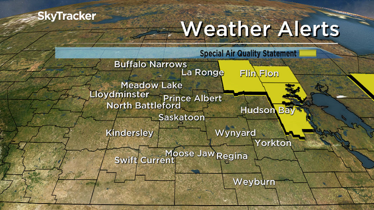
A special air quality statement is in effect for the Pelican Narrows, Flin Flon and Cumberland House areas for smoke from wildfires causing poor air quality and reduced visibility.
Conditions will likely not improve so long as the fires continue to burn.
Some people may experience symptoms such as increased coughing, throat irritation, headaches or shortness of breath.
Thirty-seven fires are burning in Saskatchewan, three of which are not contained.
WATCH: 25 stranded teachers drive 7 hours through smoke & flames to make it back to school in Sandy Bay
Multiple properties on the south end of Granite Lake, located southeast of Pelican Narrows, have been saved.

Firefighters set up and maintained high-end sprinkler systems to protect vulnerable properties, creating islands of green in an ocean of burnt forest.

A direct fire threat is still being reported at Jan Lake and Birch Portage with fire within one kilometre of these communities.
At last report, over 2,400 people have been displaced by these fires and are either camping, staying in evacuation centres or hotels in Prince Albert and Saskatoon or residing with family and friends.
Fire bans remain in effect for many communities and RMs as well as all provincial parks and Crown land south of the Churchill River.
For the latest weather alerts download the Global News Skytracker weather app for iPhone, iPad or Android.

Get daily National news
Saskatoon Forecast
Tuesday
It was a cool start to the school year as the kids headed out in the morning and we fell back to 2 degrees with some areas falling below freezing with frost, including Rosetown and the Clavet area.


Mostly to partly cloudy skies then kicked in for the remainder of the morning, helping warm us up into the high teens by noon.
After a few clouds filtered through early in the afternoon, we saw a return to full sunshine as we warmed up to a high a few degrees into the 20s.
Wednesday
It’ll be another cooler start to the day as the kids head out to their second day of school, but by afternoon, the effects of an upper ridge of high pressure building in will be felt.
Mostly sunny skies will dominate the day with temperatures sliding up to a high around 27 degrees.

Thursday-Friday
Heat with that upper ridge will stick around for the rest of the week with nothing but beautiful blue skies and sunshine as September kicks into full swing!
Daytime highs will push from the upper 20s on Thursday to possibly as warm as the low 30s for Friday.

Weekend Outlook
The ridge is expected to start breaking down this weekend with a return to a few more clouds and daytime highs dipping back from the upper 20s or low 30s Saturday, back to the mid 20s on Sunday.

Braden Ottenbreit took this Your Saskatchewan photo in Saskatoon:

Saskatoon weather outlook is your source for Saskatoon’s most accurate forecast and is your one stop shop for all things weather for central and northern Saskatchewan with comprehensive, in depth analysis that you can only find here.


Comments