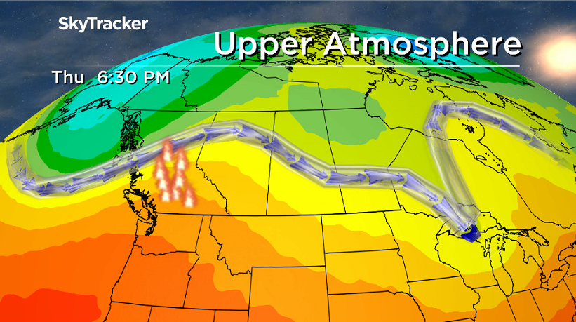
Smoke has spilled back in, heating up Friday before a cold front dunks us down this weekend.

Special Air Quality Statement Ended
Environment Canada has ended a special air quality statement for Uranium City and Camsell Portage for smoke from wildfires south of Great Slave Lake that was causing poor air quality and reduced visibility.
Models were indicating the main smoke area would improve during the day Thursday, but a slight shift in the forecast wind direction could significantly affect how much smoke moves into or out of the region.
Residents of a Saskatchewan community have been evacuated after a wildfire just inside Manitoba has caused the closure of the only access to Kinoosao.
READ MORE: Northern Manitoba wildfire forces evacuations in Saskatchewan
Fire crews and the Office of the Fire Commissioner with Manitoba Conservation are working to protect the community and other structures in this area.
Pelican Narrows has been “sheltering in place”, moving at-risk populations into a clean air space in the community, avoiding an evacuation at this time.
READ MORE: McNair Fire burning within 15 kilometres of Fond-du-Lac

Get daily National news
The situation in Fond-du-Lac is being monitored by provincial authorities as of Wednesday afternoon.
Rain and thunderstorms are expected in the region Wednesday with heavier pockets of rain possible and winds are expected to blow from the south and west, pushing the smoke and fire away from the community, for the next several days.
Saskatoon Forecast
Thursday
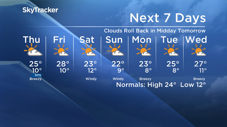
11 degrees was where Saskatoon dipped down to Thursday morning under mostly cloudy skies to start the day with smoke from B.C. wildfires spilling back into central Saskatchewan.
We got into some mid-morning sunshine, which helped bump temperatures up to the low 20s before noon.
Some instability allowed some clouds to bubble back up during the afternoon as we warmed up to a daytime high in the mid 20s.
Friday
Heat will pump back in on Friday as an upper ridge builds in to end off the work week, however this warm up will be short-lived.
Sunshine will accompany this ridge, however there is likely to be lingering smoke in the air, which is expected to reduce air quality to a moderate health risk as we warm up to a high in the upper 20s.
Weekend
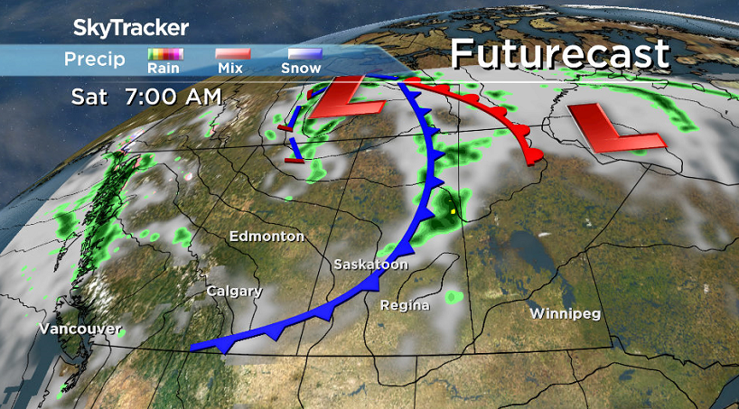
A cold front will sweep through early Saturday morning and drive up the winds to 30 km/h or so with gusts upwards of 50 to 60 km/h early in the day before easing back a bit.
There’s a chance of showers in the early morning hours Saturday, but skies should clear out to mostly sunny behind the front for the majority of the day as we attempt to warm up into the low 20s.
Sunday will remain breezy with a west-northwesterly wind continuing under a mix of sun and cloud as we climb up to a daytime high in the low 20s once again.
Work Week Outlook
After a disturbance slides by Monday and brings in some clouds and a slight chance of showers, we should get into some more sunshine by mid-week as highs clamber back into the mid 20s.
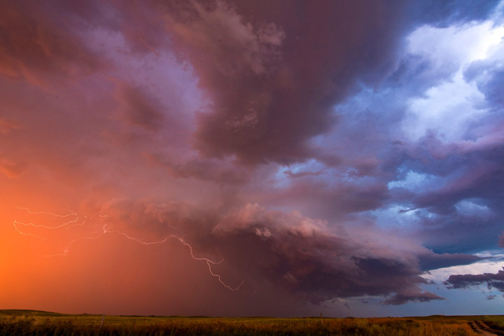
Cole Pellerin took this Your Saskatchewan photo near Burr:
Saskatoon weather outlook is your source for Saskatoon’s most accurate forecast and is your one stop shop for all things weather for central and northern Saskatchewan with comprehensive, in depth analysis that you can only find here.


Comments
Want to discuss? Please read our Commenting Policy first.