
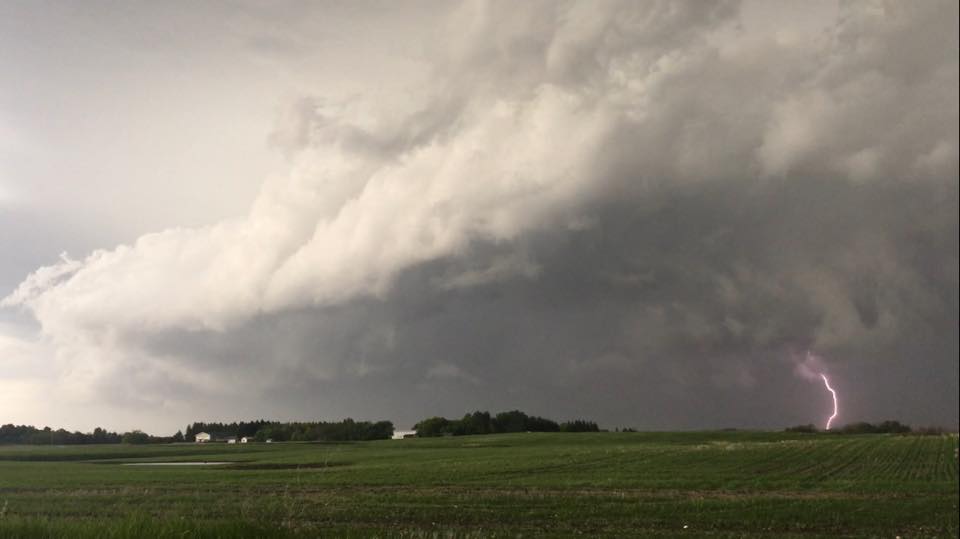
WINNIPEG — Severe thunderstorm watches have been issued in southern Manitoba and the Interlake. They were extended Friday evening to include Winnipeg.

A cold front sweeping across southern Manitoba is expected to trigger thunderstorms. Some of these storms could become severe meaning they could contain heavy rain, large hail and damaging winds. According to Environment Canada, hail and strong winds are the most likely if severe weather hits.
As the cold front moves east into the evening, the Red River Valley will become a target. Winnipeg and the surrounding area could see severe thunderstorm activity as well.


As of Friday morning, rainfall totals looked to be in the 5-15 mm range for Winnipeg but with thunderstorms these numbers could change.
- Posters promoting ‘Steal From Loblaws Day’ are circulating. How did we get here?
- Canadian food banks are on the brink: ‘This is not a sustainable situation’
- Video shows Ontario police sharing Trudeau’s location with protester, investigation launched
- Solar eclipse eye damage: More than 160 cases reported in Ontario, Quebec
Comments