
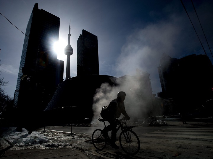
A significant spring temperature swing of 20 degrees has prompted Toronto’s Acting Medical Officer of Health to issue an extreme cold weather alert.

Tuesday’s high is expected to reach a balmy 12 C but the city will face a dramatic turnaround during the evening hours when it drops to -12 C overnight.
“The march to spring is often one where we take two steps forward and one step backwards,” Global News meteorologist Anthony Farnell said. “A sharp cold front will sweep through this afternoon and bring in cold air directly from the Arctic which means a big step backwards.”
Farnell said the windchill can go down to -20 C Wednesday morning.
“The good news is that this cold will not last and temperatures will return to normal by the end of the week,” he said. “The bad news is that there is rain in the forecast and even the possibility of freezing rain in spots.”
City officials say the cold weather advisory is issued when the temperature is forecast to reach -15 C or colder, or with a wind chill of -20 or colder.
The alert triggers cold weather services for homeless people, including TTC tokens for people to get to shelter, increased street outreach, and a direction to shelters to relax any service restrictions in place.
Extreme cold weather drop-ins will be opened by 3 p.m. on the day the alert is called and closed by noon on the day the alert is cancelled.
The public is encouraged to check on vulnerable friends, neighbours and family to ensure they are safe as the weather conditions change.


“Tonight’s weather is a reminder of that pretty chilly air mass in northern Ontario,” Environment Canada meteorologist Geoff Coulson said. “What we see is a rapid segue, the warms from U.S. southwest to winds from the north drawing down with the cold air.”
Coulson said that despite the tease of spring-like temperatures, the wintry weather historically sticks around until April.
“It’s something we see from time to time and it’s not unheard of but it’s pretty dramatic,” Coulson said. “We can see dramatic swings in the most part of southern Ontario during first part of April.”
The temperature in Toronto is expected to rise back up to -3 C for Wednesday’s high but drop again to a low of -9 C later in the evening.
More seasonal temperatures are forecast for the end of the work week with a high of 3 C on Thursday and 9 C on Friday.
Comments