


There’s finally a warm-up now in sight, but not before another shot of arctic air!

Saskatoon Forecast
Today
After a frigid weekend, the work week is starting off on a cool note as well.
Temperatures slipped down to -21 overnight, feeling like -31 with wind chill this morning.
It was a mixed bag of conditions with some light snow, cloudy periods and sunny breaks through the first half of the day.

Get breaking National news
Moderate winds picked up around noon to sustained speeds around 30 km/h with gusts upwards of 40 to 60 km/h expected to continue into the afternoon as temperatures push up into the mid-teens.
The winds will keep it feeling like the low -20s though with wind chill through the remainder of the day as our mixed bag of conditions continues.
Tonight
Tonight we’ll see a mix between partly to mostly cloudy skies with a chance of flurries as temperatures fall back toward -20.
Tuesday
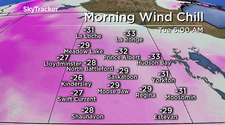
Wind chill values will still sit likely just into the -30s to start the day tomorrow under mostly cloudy skies with a chance of flurries, however we should see some clearing and a few sunny breaks later on in the day as temperatures push up into the mid-teens.
Winds will remain brisk from the northwest with gusts upwards of 50 km/h in the afternoon, making it feel like the low -20s with wind chill all day.
Wednesday-Friday
The polar vortex, the upper level cold pool of air that normally sits over the North Pole that has been sitting over our area, will push east mid-week, helping bring a brief reprieve to our temperatures.


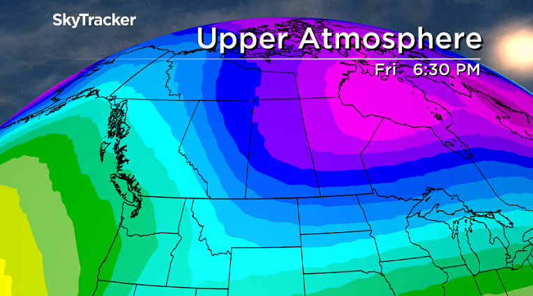
We may see a few more sunny breaks on Wednesday and early Thursday before some more clouds build in Thursday afternoon into the evening before clearing out on Friday.
Daytime highs will sit in the low minus teens Wednesday and Thursday before dropping back into the -20s as another surge of arctic air pushes in.
Overnight lows will cool through the mid-minus 20s from Wednesday into Friday.
Weekend Outlook
We will sit under the influence of an arctic high on Saturday, keeping skies mostly sunny, but temperatures will be stuck in the -20s all day.
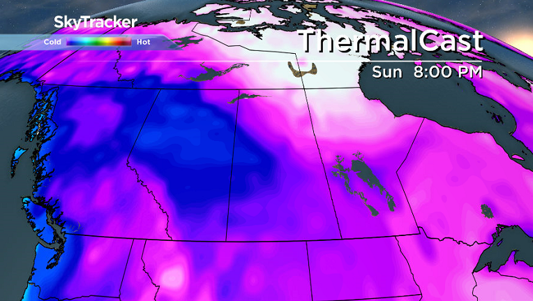
We are finally seeing a reprieve from the deep freeze into early next week with milder air beginning to push in Sunday into Monday, allowing daytime highs to push back into the minus teens and eventually into minus single digits.
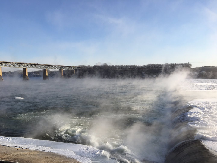
Pervaiz Iqbal took this Your Saskatchewan photo in Saskatoon:
READ MORE: Get a 2017 Your Saskatchewan calendar today
Saskatoon weather outlook is your one stop shop for all things weather for Saskatoon, central and northern Saskatchewan with a comprehensive look at your local forecast that you can only find here.


Comments
Want to discuss? Please read our Commenting Policy first.