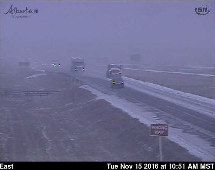
Snow and mixed precipitation hit the city of Calgary mid-morning Tuesday. In Edmonton, temperatures took a dive.

Despite the fact Global forecasters predicted the change, only a few people seemed happy about it.
The entire month of November has been unseasonably warm for most of the province.
Dozens of records have been broken and Alberta towns and cities have earned the honour of ‘Hot Spot in Canada’ a number of times for different locations including Rolling Hills and Fincastle.

Get breaking National news
Both Edmonton and Calgary shattered heat records for Nov. 8. Edmonton hit 19.5°C, breaking the previous record of 17.8°C set on Nov. 8, 1929. Calgary smashed a 93-year-old temperature record when it hit 21.8°C. The old record high for that day was 21.1°C in 1923.
Heat Wave
According to Global Calgary weather anchor Paul Dunphy, you could say that Calgary has been in a heat wave for most of November. The technical definition is usually meant for summer months but it’s not uncommon to hear forecasters talk about winter heat waves.
“I generally go with the ‘three or more days with daytime highs at least five degrees above average’ definition,” Dunphy explained. By that criteria, Calgary has been under a heat wave since Nov. 3.
Back to Normal
That warm weather has been replaced by more moderate temperatures that will stick around for at least the next five days.
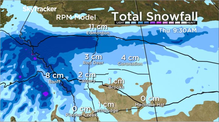
Mixed precipitation moving in from south of the Alberta border will reach as high as Edmonton before making a pass back toward the foothills.
Most forecast models agree the majority of snow will stay just south of Edmonton, however places like Red Deer and Calgary are likely to be hit by this same system twice. The initial snowfall will hit as the system moves north through the central region Tuesday, and then the tail end of the low will bring scattered flurries through those regions again Wednesday as it starts to move east into Saskatchewan.
The average daytime high in Calgary for mid-November is 2°C. Highs are expected to hover around the freezing mark until Sunday.
Want your weather on the go? Download Global News’ Skytracker weather app for iPhone, iPad and Android.


Comments