After falling for over two days straight, the snow has finally stopped, but how does the Thanksgiving long weekend look?

Snowfall Summary
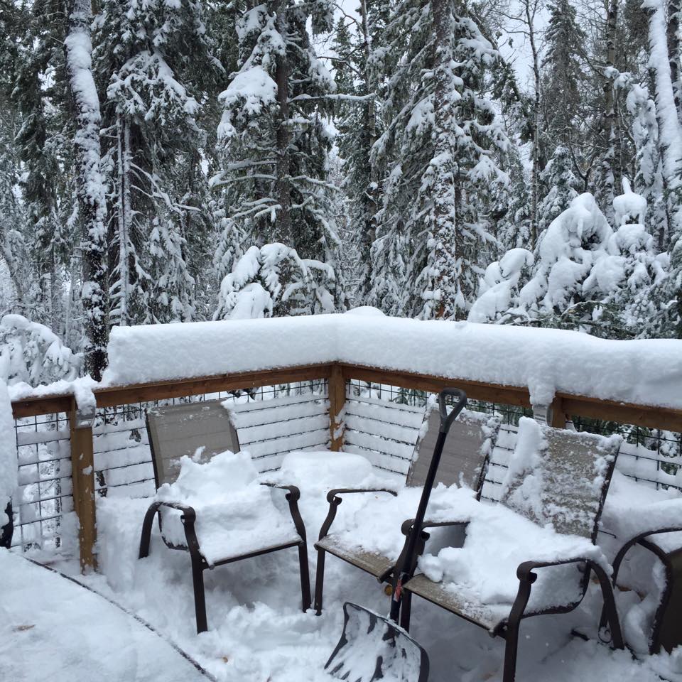
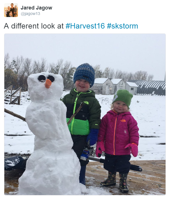
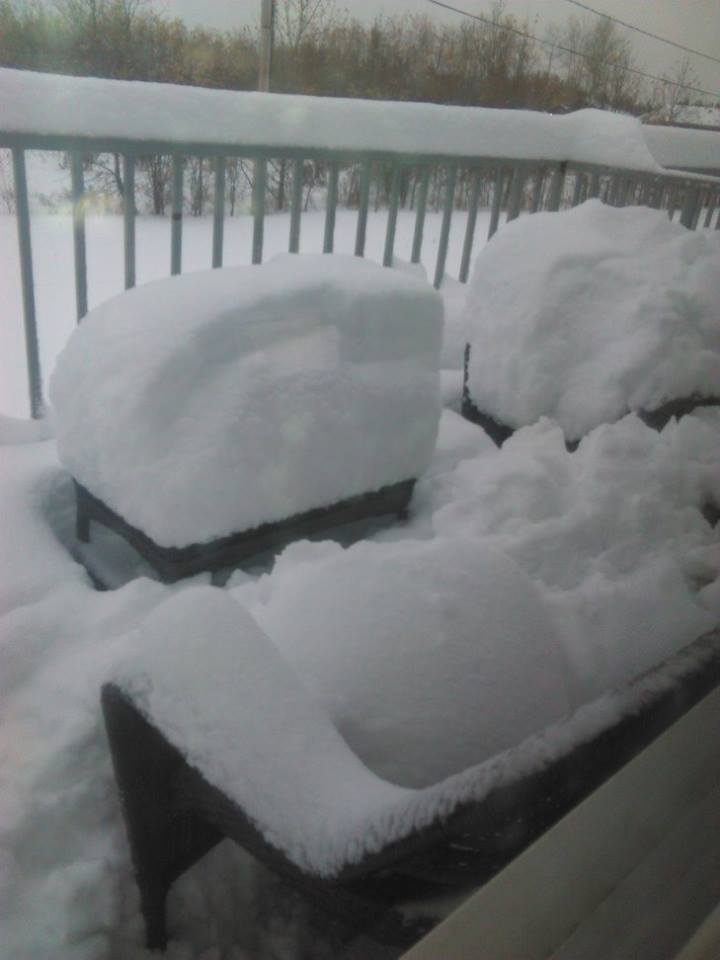
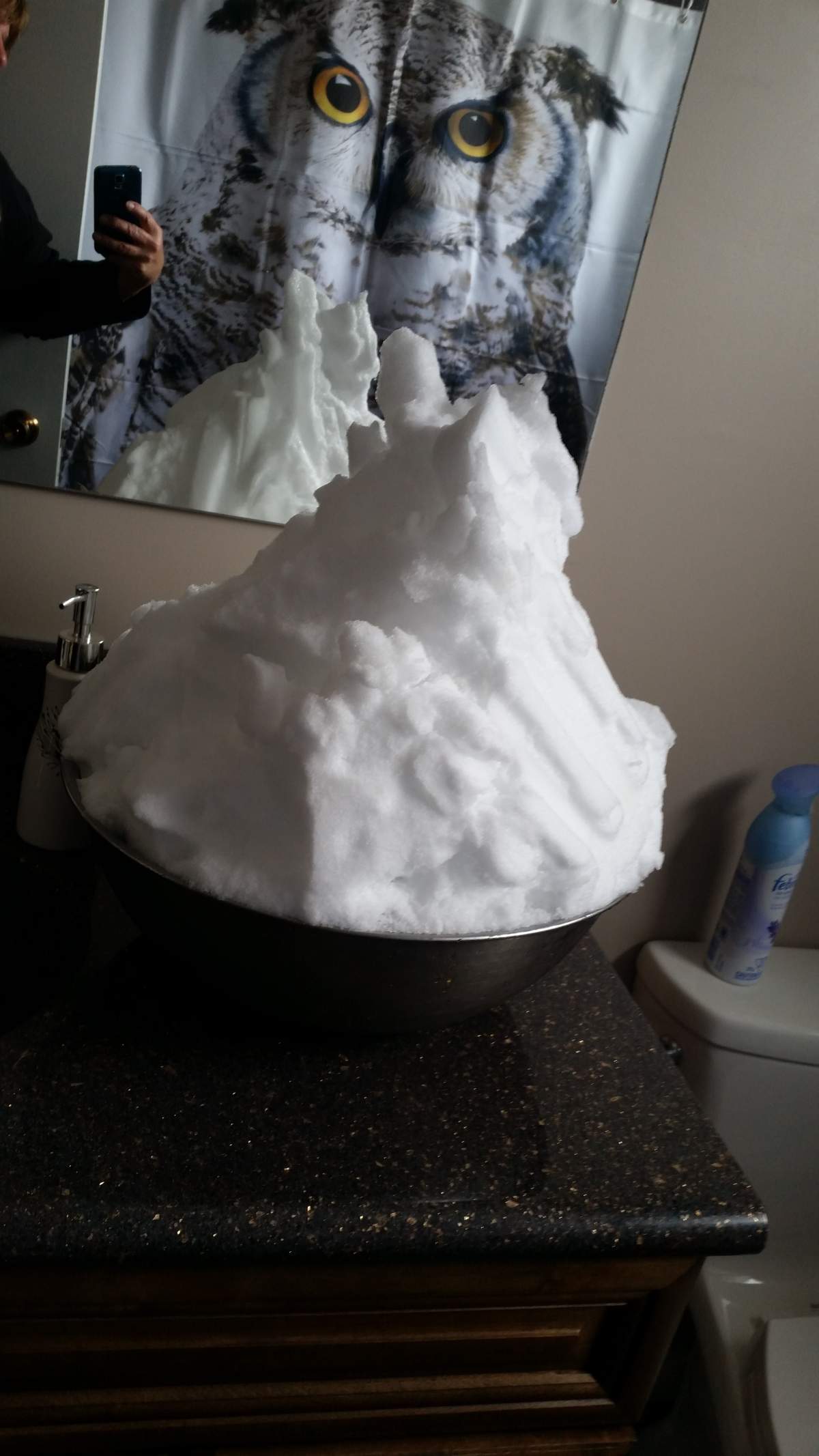
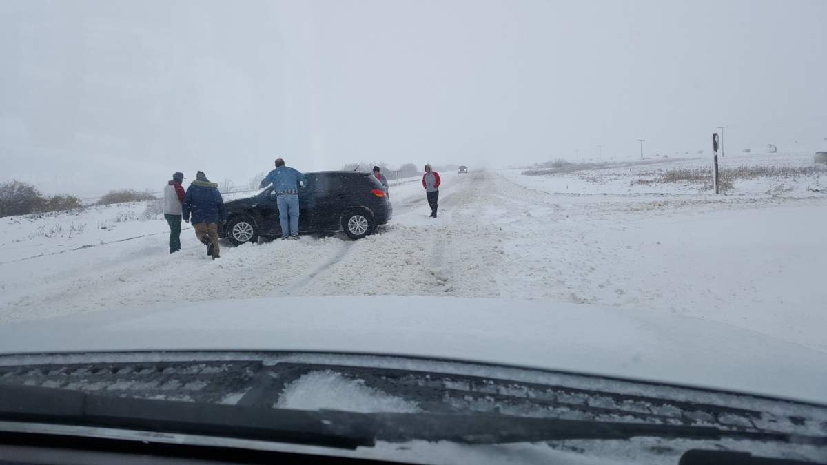
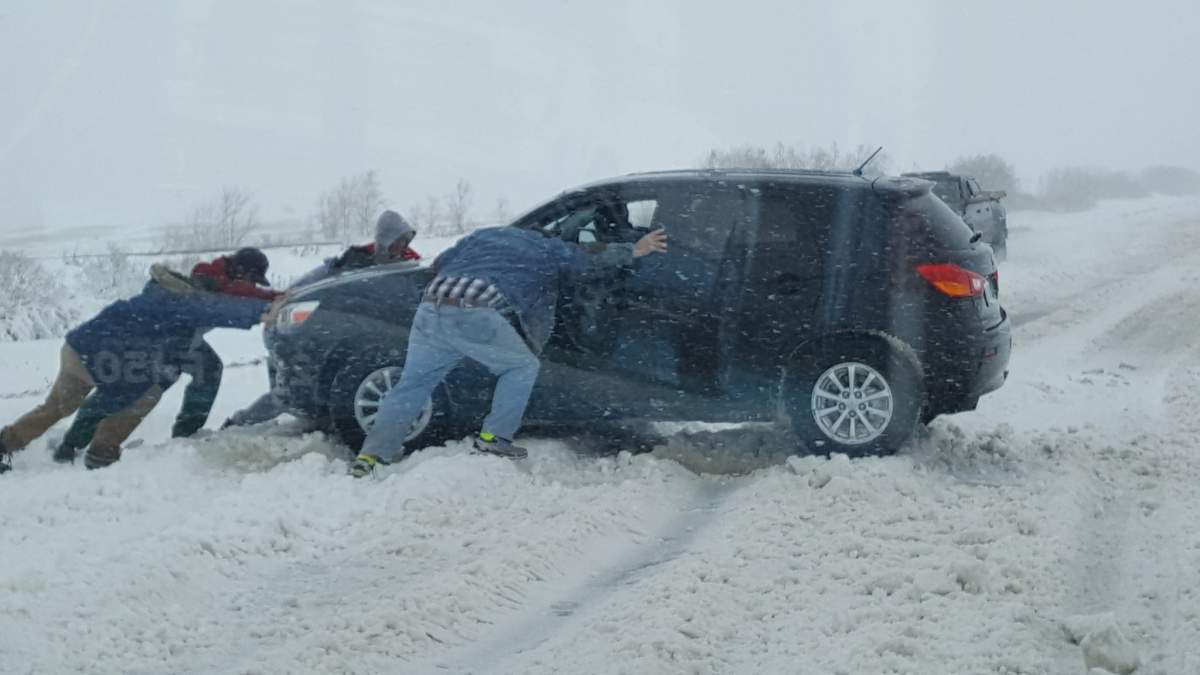
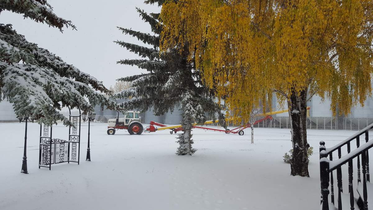
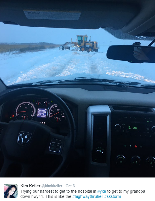
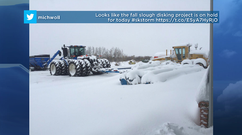
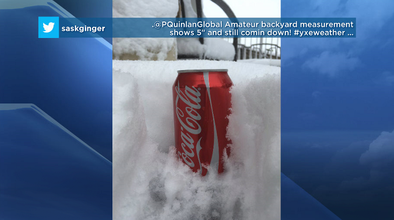
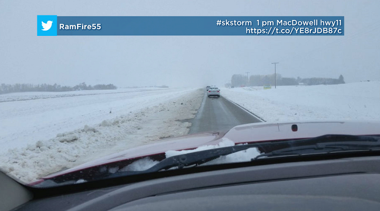
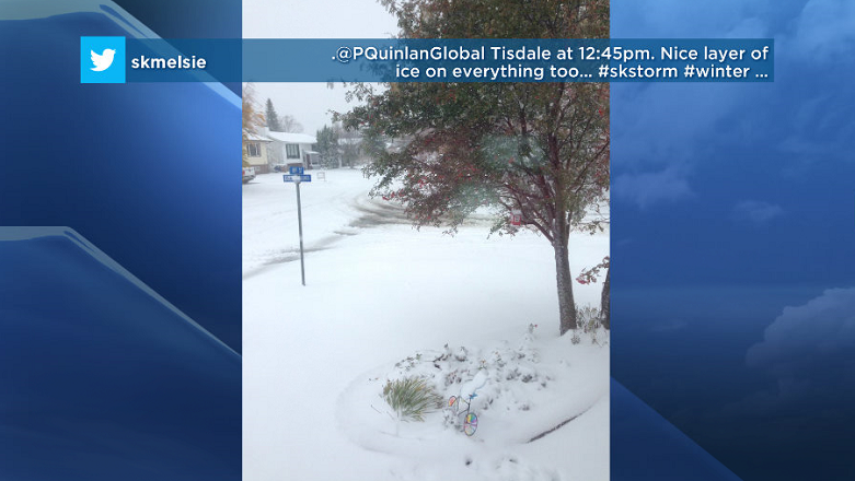
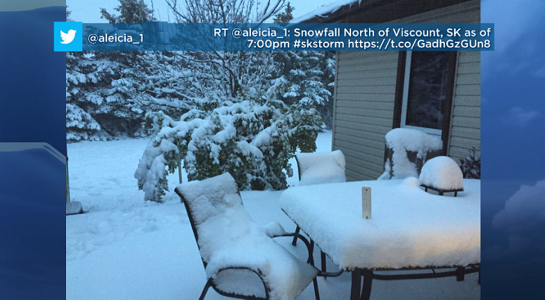
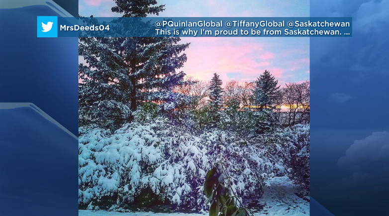
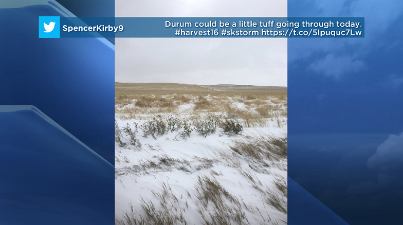
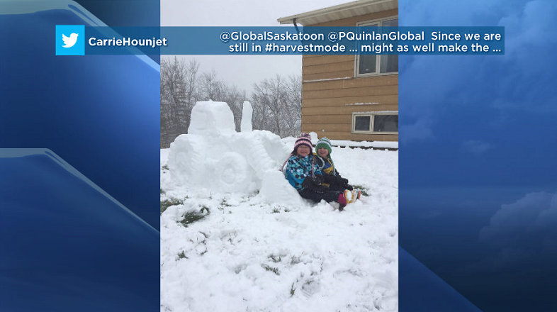
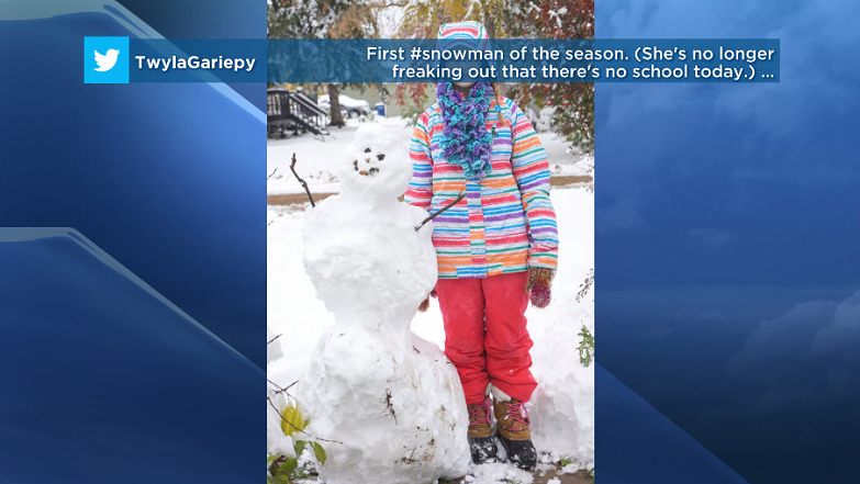
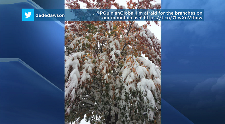
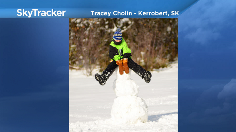
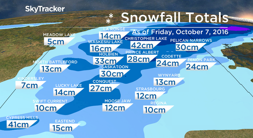
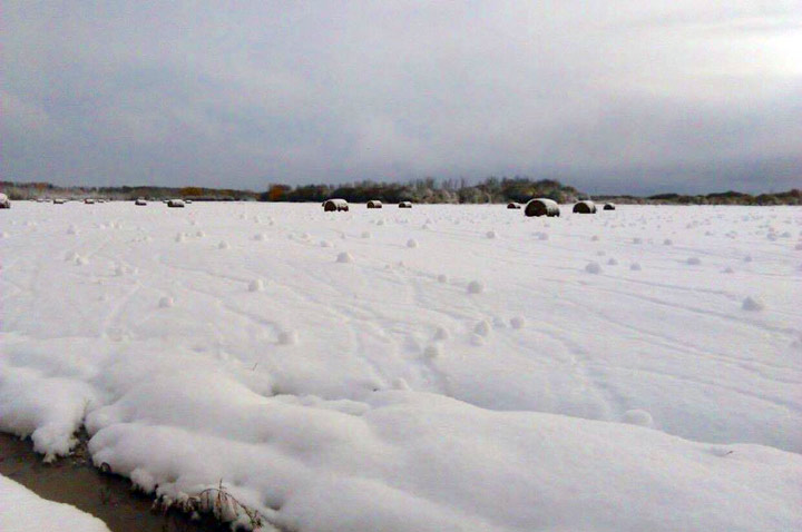
Saskatoon saw a total of 30 centimetres of snow as of Friday morning when it finally stopped falling.
Other parts of the province including Christopher Lake, St. Isidore de Bellevue and Cypress Hills saw over 40 centimetres accumulate since Wednesday.
The main culprit for the snow was a low pressure system that has now pulled off further east and the last remnants of scattered flurries will clear out through the day on Friday.
READ MORE: Cleanup continues in Saskatoon and area following record snowfall
Saskatoon Forecast
Today

Get daily National news
Temperatures dipped back to -3 this morning as the snow finally tapered off after falling steadily since Tuesday night.
Wind chill values made it feel like -8 this morning before temperatures rose up to the freezing mark by noon under mostly cloudy skies.
We may still see some remnant pockets of light snow through the afternoon as the mercury tries to push up a degree or so up above freezing.
Tonight
Mostly cloudy skies are expected to stick around through most of the night as temperatures drop back to a chilly -6 overnight, making this the coldest night in nearly a year!
Saturday
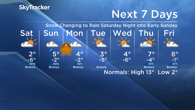
It will feel like minus double digits tomorrow morning with wind chill, especially if we catch a few clear breaks by early morning, however we’ll warm up a bit more by the afternoon to kickoff the long weekend.
We may catch a few early day sunny breaks before the clouds roll back in and temperatures rise up to around two degrees.
WATCH BELOW: When will the snow melt in Saskatoon?

- Winter’s grip continues across much of Canada; forecasts call for snow, freezing rain
- Strong atmospheric river forecast to hit coastal B.C. as spring break begins
- A blizzard, polar vortex, heat dome and atmospheric river: U.S. faces weather chaos
- Hurricane-strength winds knocked over semi trucks on the Coquihalla Highway
There is a good chance of light snow Saturday night as the next system pushes in that could produce a few centimetres worth on the ground before transitioning to rain.
Sunday
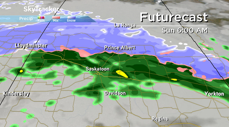
Accelerated warming will kick in on Sunday as a low pressure system pushes in some milder air, but as it does so it’ll also switch our precipitation type from snow Saturday night to rain early Sunday morning into the day.
It looks like showers should taper off through the day though and we should hit a daytime high around +5 in the afternoon under mostly cloudy skies.
The combination of the warmer temperatures combined with the ground still not being too frozen and some rain may be enough to melt away much of the snow that has fallen.
Thanksgiving Day Monday
The associated cold front with that low pressure system will then slide through for Thanksgiving Day on Monday.
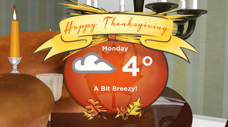
This should be a relatively dry front, but it will likely keep us under mostly cloudy skies through the day with just a slight chance of flurries.
Temperatures should still manage to top out around three or four degrees or so during the day with a north-northwesterly wind kicking in.
Work Week Outlook
A chilly arctic high pressure system looks like it’ll be slipping by next week that’ll help clear out skies and give us some early week sunshine, but it’ll also keep us cool with daytime highs only as warm as mid-single digits and lows in mid-minus single digits expected.
Saskatoon weather outlook is your one stop shop for all things weather for Saskatoon, central and northern Saskatchewan with a comprehensive look at your local forecast that you can only find here.




























Comments
Want to discuss? Please read our Commenting Policy first.