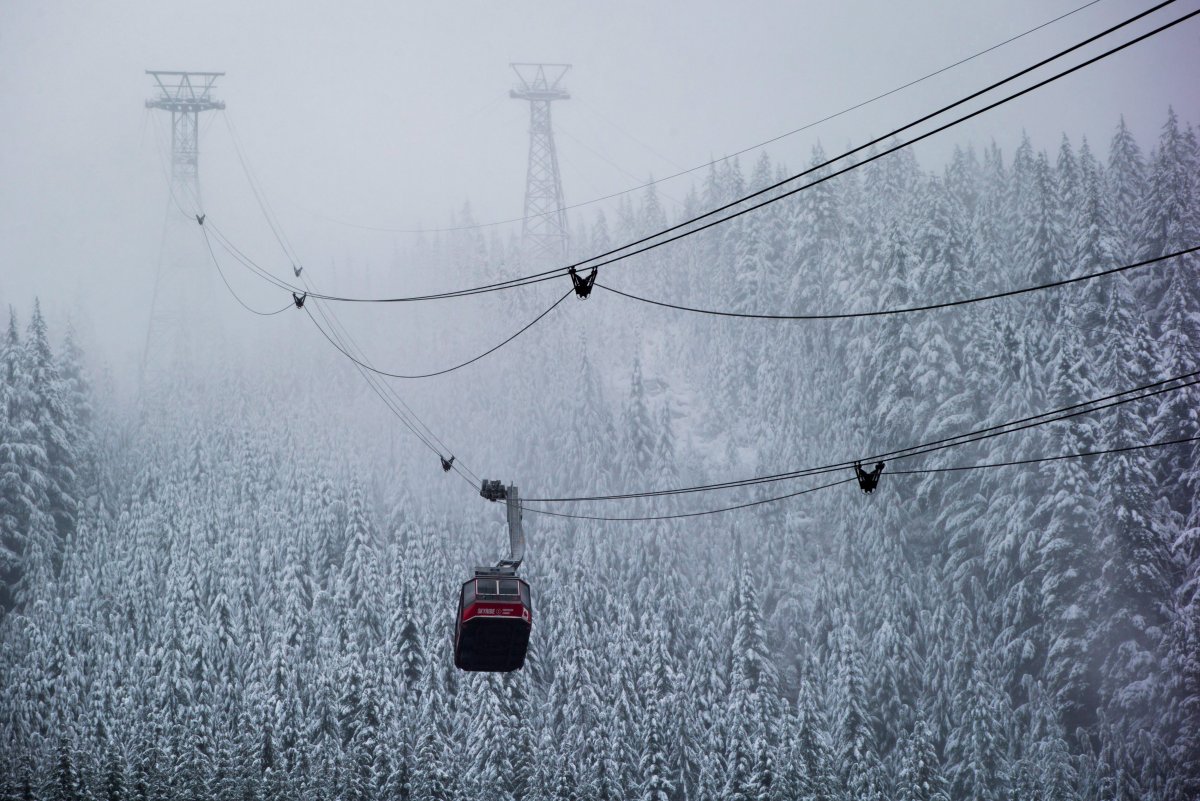
You might want to invest in a good pair of snow tires, as southern B.C. might be in for a cold, snowy winter if the Old Farmers’ Almanac forecast proves accurate.

The 224-year-old weather forecasting guide has released their extended forecast for this winter and into October 2017 : it predicts the southern area of B.C., from Prince George and Cranbook to Vancouver, will see colder-than-normal temperatures with more precipitation than usual.
‘The coldest periods will be in early and mid- to late December and mid- to late January, with the snowiest periods in early and mid-December and mid-January,” the Almanac reported online.
It adds that spring will reach near-normal temperatures and below-normal precipitation.
Next summer should be warmer than normal with higher-than-average precipitation in the west and close to normal in the eastern parts of the province.
Fall 2017 is expected to be rainier and cooler than normal.

Get daily National news
The Farmers’ Almanac says it has an 80-per-cent accuracy rate, however Global News’ chief meteorologist Mark Madryga says the forecasts can’t be taken at face value.
He prefers to point at larger climate systems like La Niña to predict the long-term weather.
“With the absence of El Niño this year, there is a high probability that this coming winter will be colder than last winter. A few days of snow are more likely down to sea level on the South Coast this year,” said Madryga.
READ MORE: El Niño comes to an end; La Niña on its way
Last winter’s gigantic El Niño system, nicknamed the ‘Godzilla El Niño’ by NASA, stretched from March 2015 to June of this year, bringing warm temperatures and varying levels of precipitation to much of the world.
It also contributed to some record-breaking world temperatures and permanent environmental damage.
“This El Niño has caused some of the worst coral bleaching and death of any event we’ve ever seen,” said National Oceanic and Atmospheric Administration coral reef watch co-ordinator Mark Eakin.
But the extreme climate system will now likely switch to La Niña, which historically brings cooler and wetter conditions to the Pacific Northwest region.
NOAA forecasts a 50 per cent chance of La Niña by the end of the summer and 75 per cent chance by the end of the fall.
This is good news for local mountains, which saw a positive year for winter conditions last year and will likely see one again.
“We are very excited for the upcoming winter season. La Niña seasons have historically meant colder than average temperatures and abundant snowfall for Whistler Blackcomb. As with any season, the natural snowfall is complimented by our extensive snowmaking system,” said Doug MacFarlane, director of mountain operations at Whistler Blackcomb.
“Overall, we are shaping up for another great season for our guests.”


Comments