


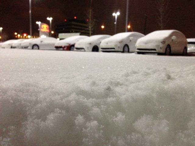
EDMONTON – Something more than a political storm is set to hit north central Alberta Tuesday night.

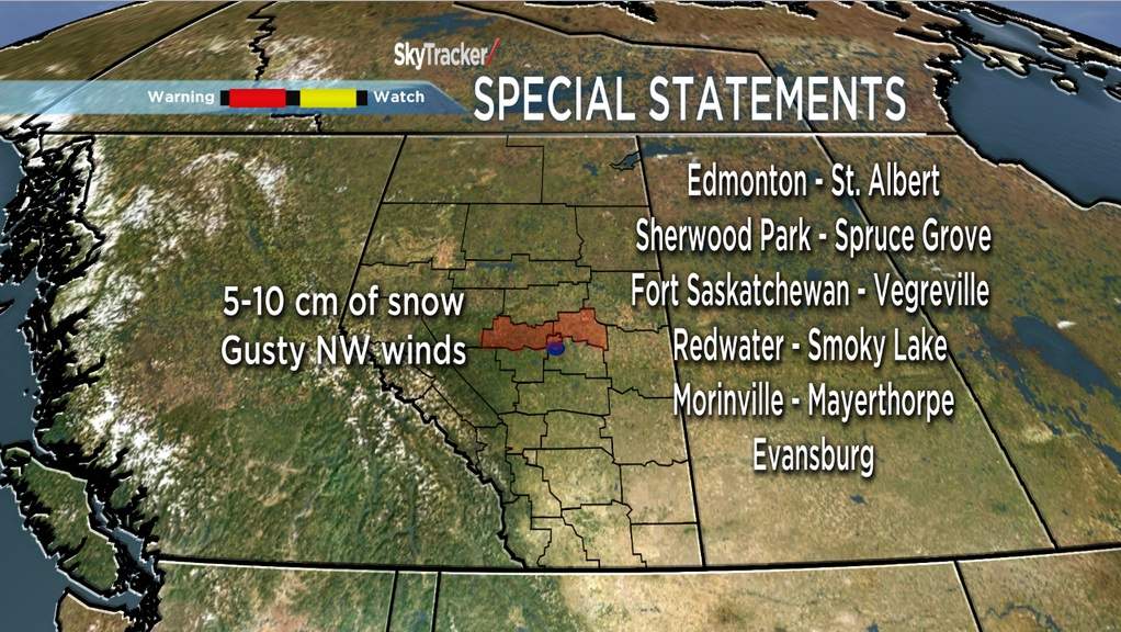
A large low pressure system that has been dropping heavy rain and snow through interior British Columbia and the Alberta Peace Country Tuesday is expected to hit Edmonton early Wednesday morning. The storm is forecast to drop five to 10 centimetres of the white stuff through the Capital Region by Wednesday night, placing Edmonton under a special weather statement from Environment Canada.
Wednesday’s morning commute will likely be nasty as drivers encounter heavy wet snow and northwest winds sustained at 30 km/h, gusting up to 70 km/h. Temperatures will also drop drastically over the 24 hours, with daytime highs Wednesday expected to top out at only 4°C. Dressing extra warm, and leaving yourself a little extra time for your Wednesday morning commute would be advisable.
Here is a map of the Alberta communities under special weather statements Tuesday night:
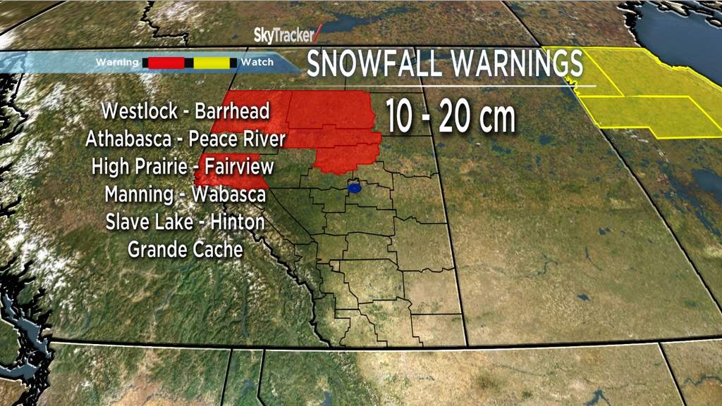
To the north and west of the Capital Region, snowfall amounts could be much higher. Areas like Peace River and Wabasca already had 13 centimetres of snow on the ground Tuesday afternoon.

Get breaking National news
Here is a map of the Alberta communities under snowfall warnings Monday night:


You can continue to monitor this active weather situation by checking in with us online, tuning into Global Edmonton for News Hour Final or the Wednesday Morning News, and by visiting the Environment Canada website.


Comments
Want to discuss? Please read our Commenting Policy first.