
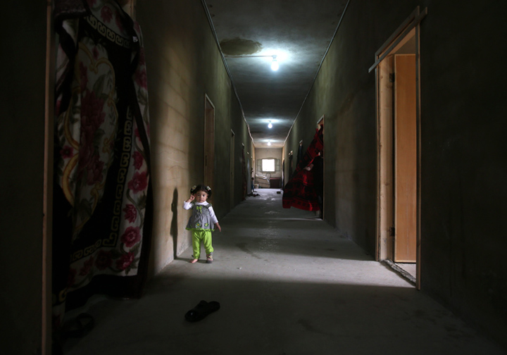
Millions of people have fled Syria’s bloody, complex civil war since fighting began four years ago. According to the United Nations, nearly four million people are registered as refugees in neighbouring countries.

Another 6.5 million are displaced within Syria, the UN reported last summer. In all, nearly half of the country’s prewar population of 22 million has been killed or forced to flee. The UN estimated last year that about 200,000 people had died in the conflict, but some fear the true number is much higher.
The numbers become so huge they’re tough to contemplate.
So what does 3.9 million people look like in Canada? It’s equivalent to completely depopulating:
All of Alberta and a chunk of southwestern Saskatchewan, including Saskatoon:
Interactive maps: Type your address into the search bar, or click and drag to move around and double-click to zoom. Click on an area for its postal code and population.
Or all of Toronto, Pickering, Ajax, Whitby, Oshawa, Vaughan, Markham, Richmond Hill and Aurora:


Or all of B.C.’s Lower Mainland, most of Vancouver Island and much of the Southern Interior, including all of the major population centres in the province:
Comments