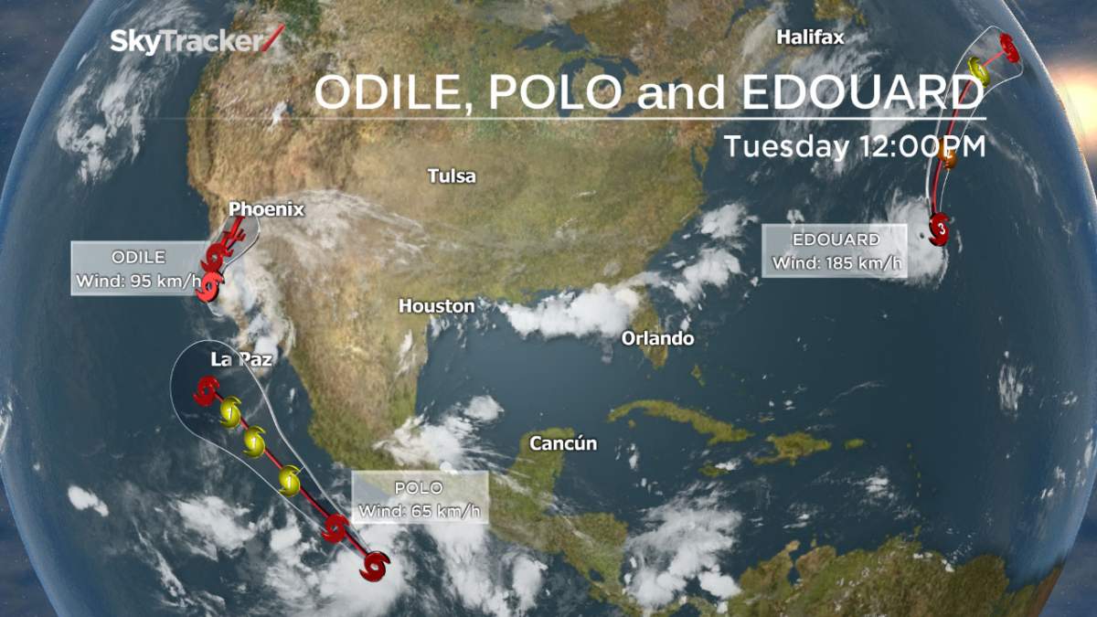
TORONTO – A second tropical storm has formed off the coast of Mexico on Tuesday, and may be headed for the same area that was hit by Hurricane Odile on Sunday.

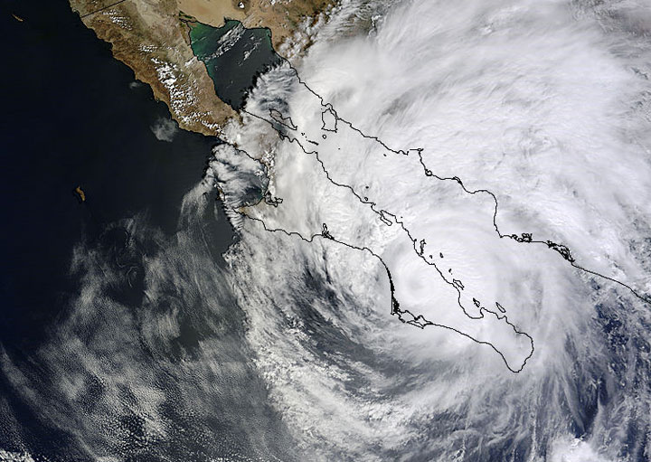
Odile made landfall in Cabo, Mexico, on Sunday, creating widespread damage and flooding.
Tropical Storm Polo formed on Monday 580 km south-southeast of Acapulco, Mexico. The storm’s maximum sustained winds are 65 km/h with higher gusts. The National Hurricane Center is forecasting some strengthening of the storm, saying it could become a hurricane by Thursday. The current track – unfortunately, for those in Baja California – once again takes it along the coast and just off of La Paz on the Baja California peninsula.
READ MORE: ‘Our bed went out the window’– B.C. tourist describes mayhem in Cabo following hurricane

Get daily National news
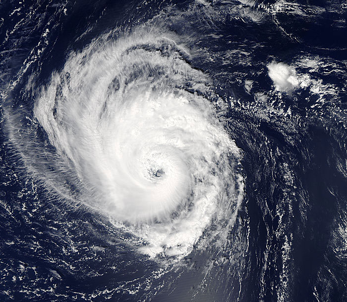
Meanwhile in the Atlantic, Hurricane Edouard continues to churn safely away from land.
As of Tuesday afternoon, Edouard was a Category 3 hurricane on the Safir-Simpson scale, used to measure the strength of tropical storms. It is the first major hurricane of the 2014 Atlantic hurricane season.
Edouard is moving north-northwest at 20 km/h. However, it is expected to turn toward the north later Tuesday, which is welcome news for those living in Atlantic Canada as it will take the storm out into sea.

Then there’s the west Pacific.
Typhoon Kalmaegi made landfall on the Chinese island of Hainan Tuesday, cancelling flights and forcing the evacuation of more than 200,000 people. This was after it battered the Philippines over the weekend.
On Tuesday, Kalmaegi’s winds were 157 km/h making it a Category 2 on the Saffir-Simpson scale.
The storm was continuing on toward mainland China and expected to hit Guangdong Province early Wednesday morning local time.
–with files from The Associated Press


Comments
Want to discuss? Please read our Commenting Policy first.