
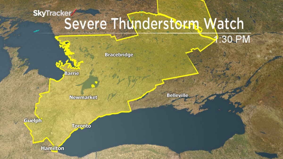
TORONTO – Environment Canada has issued a severe thunderstorm watch for the several communities across southern Ontario, including Toronto.

At 4:36 p.m. a severe thunderstorm warning was issue for Windsor, Leamington, Essex County, Chatham-Kent, Rondeau Park, Sarnia, Petrolia and Western Lambton County as thunderstorms were approaching from Michigan.
A thunderstorm warning was also issued at 5:23 p.m. for Apsley, Woodview, Northern Peterborough County, Fenelon Falls, Balsam Lake Park, Northern Kawartha Lakes, Lindsay and Southern Kawartha Lakes.
A watch is in place for the following areas:
- City of Toronto
- Burlington – Oakville
- Caledon
- Halton Hills – Milton
- Mississauga – Brampton
- Newmarket – Georgina – Northern York Region
- Pickering – Oshawa – Southern Durham Region
- Uxbridge – Beaverton – Northern Durham Region
- Vaughan – Richmond Hill – Markham
- Deep River – Whitney – Eastern Algonquin Park
- Bancroft – Hastings Highlands – Denbigh
- Kaladar – Bannockburn – Bon Echo Park
- Barrie – Collingwood – Hillsdale
- Midland – Coldwater – Orr Lake
- Orillia – Lagoon City – Washago
- Innisfil – New Tecumseth – Angus
- Orangeville – Grand Valley – Southern Dufferin County
- Shelburne – Mansfield – Northern Dufferin County
- Chatham-Kent – Rondeau Park
- Windsor – Leamington – Essex County
- Sarnia – Petrolia – Western Lambton County
- Watford – Pinery Park – Eastern Lambton County
- Guelph – Erin – Southern Wellington County
- Listowel – Milverton – Northern Perth County
- Stratford – Mitchell – Southern Perth County
- Kitchener – Cambridge – Region of Waterloo
- Mount Forest – Arthur – Northern Wellington County
- Haliburton – Minden – Southern Haliburton County
- Oxtongue Lake – Fort Irwin – Northern Haliburton County
- Apsley – Woodview – Northern Peterborough County
- Fenelon Falls – Balsam Lake Park – Northern Kawartha Lakes
- Lindsay – Southern Kawartha Lakes
- Peterborough City – Lakefield – Southern Peterborough County
- Barry’s Bay – Killaloe
- Petawawa – Pembroke – Cobden
- Renfrew – Arnprior – Calabogie
A cold front will make its way into the region later Tuesday. As it moves into the area, it will meet with the hot and humid weather that has finally descended across southern Ontario, creating instability in the atmosphere.
The result will be isolated thunderstorms Tuesday afternoon into the early evening, some of which could become severe.
READ MORE: Heat alert issued for Toronto, GTA as temperatures to rise Tuesday
The main threat will be strong wind gusts, large hail and heavy rain.


Once the storms roll through, temperatures will drop to the low 20s for the remainder of the week.
- ‘Shock and disbelief’ after Manitoba school trustee’s Indigenous comments
- Several baby products have been recalled by Health Canada. Here’s the list
- Canadian food banks are on the brink: ‘This is not a sustainable situation’
- Invasive strep: ‘Don’t wait’ to seek care, N.S. woman warns on long road to recovery
Remember to keep an eye on the sky. If threatening weather approaches, seek shelter. As well, keep away from flooding roads: it’s often difficult to ascertain just how deep the water is and it can pose a danger.
A watch is issued when conditions are favourable for severe weather. A warning is when hazardous weather is imminent or occurring.
To get real-time weather for your area, download the Global News Skytracker weather app.
WATCH: Will the afternoon showers disrupt your visit to the Ex – or your drive home?
Comments