
The bright colours on a riding map on election night tell only the simplest part of the story. Behind the outcome, which leaves a particular candidate elected or rejected, is an intricate system of polls dividing towns and cities into finely scaled geography at the neighbourhood and sub-neighbourhood level.

Poll-level data can show us the nuances of political difference between two apartment buildings, for example.
Polls are the most detailed level we can see an election at, and the intimate scale shows how shifts within ridings, street by street, can lead to a change in political outcome in the bigger picture.
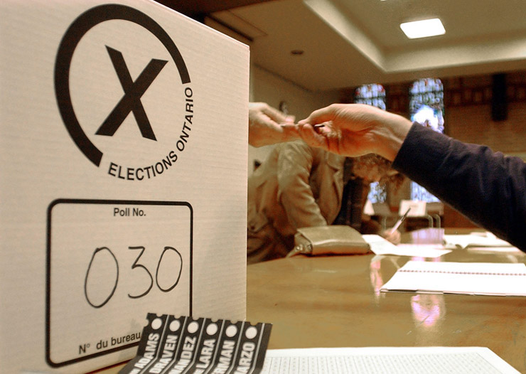
Elections Ontario released unofficial poll-level results last week. We have reorganized the data to show the whole province at the poll level.
The maps let you compare poll-level winners in 2011 and 2014 as well as each of four parties – for example, you can compare Liberal performance in 2011 to 2014.
The map has to load a large amount of data – please be patient.
READ MORE: Your guide to Ontario’s political polarization (have fun governing that)
What did you find in the maps? Let us know in the comments.
Here’s what we’ve noticed so far:
- In Toronto, neighbourhoods are shifting political identities in a way that may have implications for the federal election in 2015: The Liberals have made deep inroads in Toronto’s east end, long an NDP stomping ground. Nearly all polls in the Beaches now vote Liberal, whereas they were fairly evenly split between the Liberals and the NDP in 2011. At the same time in Toronto-Danforth, the Liberals took a big chunk of NDP polls in Riverdale. Meanwhile, the PCs picked up high-income polls from the Liberals. Much of Rosedale, Lawrence Park and Forest Hill shifted from the Liberals to the PCs.
- North of Steeles, the Liberals picked up many PC polls in Vaughan.
- In Brampton, the NDP extended its reach, picking up many polls in Bramalea-Gore-Malton to the west of Torbram Road.
- In suburban Ottawa, the Liberals picked up many polls to the south of the city.
- Province-wide, the Greens won 47 polls and tied another 10. They held on to their foothold in Dufferin County, a legacy of the now-cancelled Melancthon quarry project, and picked up a handful of polls in Muskoka. They also picked up some polls in downtown Guelph from the NDP. (The Greens, though the first-past-the-post system means that they have never won a seat at Queen’s Park, can’t be dismissed as a factor in Ontario politics – in 2007, they got over 350,000 votes, about half of the NDP’s total.)
- The Liberals were shut out of much of London.
- The NDP took a solid lock on much of Windsor-Essex, shutting out both the Liberals and the PCs, and extended their reach in Sarnia.

The pattern I see, informally, is: wealthy polls shifting from the Liberals to the PCs, gentrifying polls shifting from the NDP to the Liberals, and polls with falling income shifting from the Liberals to the NDP.
(So far, we’re a bit challenged about how to visualize this, but it is implicit in the map.)
Comments