ST. JOHN’S, N.L. – Former premier of Newfoundland and Labrador Danny Williams said he was disappointed that national news coverage of the Quebec election included a map that doesn’t recognize the Labrador border as determined by the British Privy Council in 1927.


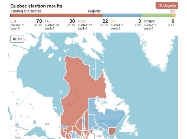


Williams was reacting today after most major news outlets, including The Canadian Press, posted online map data of Quebec on Monday provided by Elections Quebec that spills over the southern Labrador boundary.
READ MORE: Full Quebec election results

Get breaking National news
He said it reminded him of instances during meetings with Canada’s Eastern premiers when Quebec officials would put up a map of their province that included Labrador — and his officials would take it down.
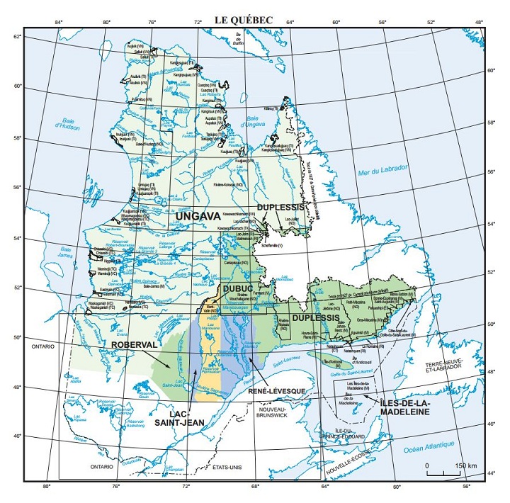
Quebec has never recognized the British Privy Council ruling, which says the southern border of Labrador lies at the 52nd parallel north of the equator.
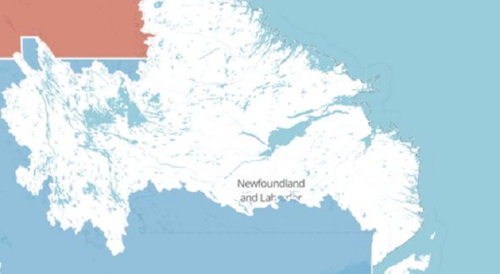
Below is the map provided by Elections Quebec, which clearly shows the Quebec riding of Duplessis extending past the borders of Labrador.
Comments