
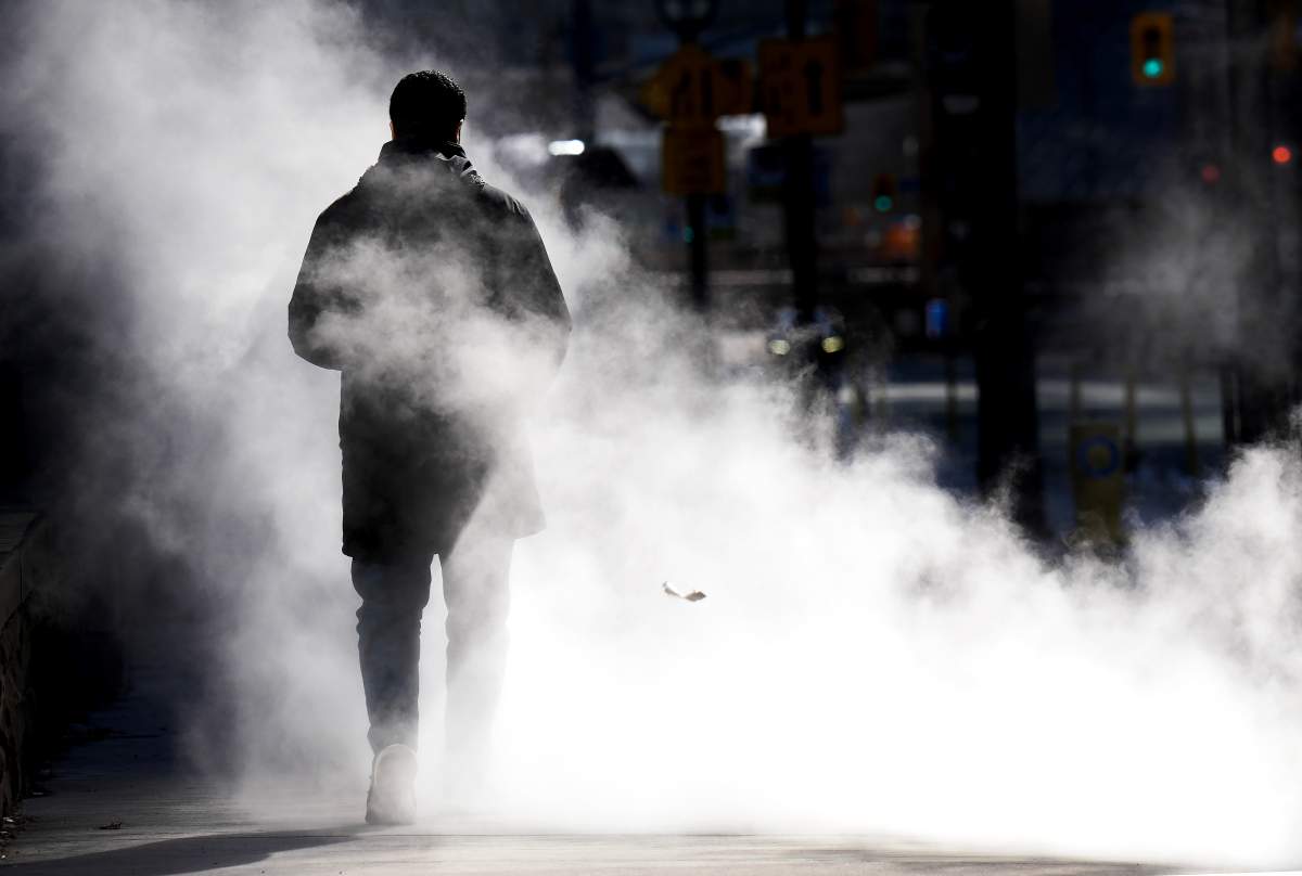
After months of persistent snow, deep freezes and Arctic blasts, many Ontarians are feeling the fatigue of a winter that won’t let go.

According to Global News chief meteorologist Anthony Farnell, it’s not just the cold or snowfall totals that stand out, it’s how long it’s all lasted.
“It’s definitely not your imagination,” Farnell said. “It has been a long go across southern Ontario.”
Snow arrived before Christmas across much of southern Ontario, followed by weeks of persistent lake-effect snowfall through January.
That pattern, combined with multiple deep freezes and freezing rain, kept snow on the ground for months, with little opportunity for a sustained thaw.
“We had that spell of lake effect where it was almost just consistent, day after day,” Farnell said. “Then those cold snaps just solidified whatever was out there.”
In cities like Toronto, this winter is now ranking among their snowiest on record, while others, including London, didn’t break records but still felt the strain of a prolonged season.

Get daily National news
Toronto was buried under roughly 80 centimetres of snow over just a few days in late January after a powerful system brought record-breaking totals across the region.
Environment Canada reported 61 cm fell in downtown Toronto in a day, which is among the highest totals ever recorded in the core, while 46 cm was measured at Toronto Pearson airport, marking its snowiest day on record.
One of the defining features of this winter was the extent of ice coverage across the Great Lakes.
Lake Erie reached about 97 per cent ice coverage at one point, while ice built up across Lake Huron and Georgian Bay before shifting later in the season.
That ice coverage directly influenced snowfall patterns.
“When ice is there, you don’t have the same lake-effect snow,” Farnell explained.


Despite brief stretches of mild weather earlier in March, Farnell says winter isn’t finished.
“There’s still a lot of Arctic air across Northern Canada, so it doesn’t take much for that to make its way south,” he said.
Despite the calendar turning to spring Friday, Farnell says these circumstances will cause winter conditions to linger on a bit longer.
According to the Weather Network, a system is expected to move through the province in the coming days and will bring heavy snow, icy precipitation and hazardous travel conditions.
The Great Lakes winter storm is expected to slam parts of Ontario with strong winds and potentially bury some communities under as much as 50 centimetres of snow, despite the start of spring being just days away.
“We’re going to be fooled at least two or three more times,” Farnell added, noting that a true spring warm-up likely won’t arrive until May.
Looking ahead, Farnell says this winter doesn’t offer a clear signal for spring or summer, with lake temperatures and ice coverage currently near average.
But for now, Ontarians may need to stay patient as winter lingers a little longer.
Bah ha ha ha ha ha ha
You all should be happy it is cold after all who wants that nasty global warming?