
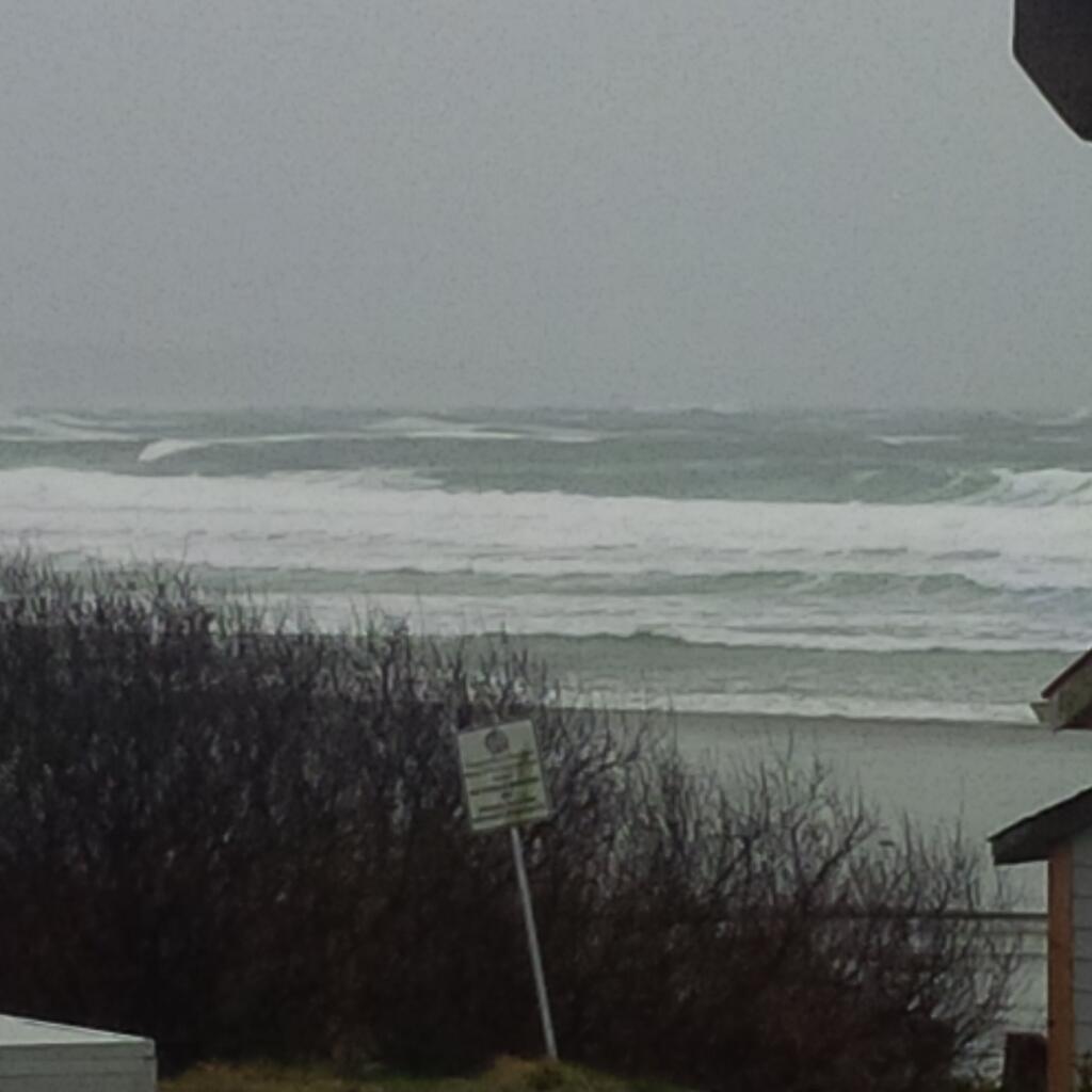
Another intense Pacific frontal system will approach the South Coast later this afternoon.

This is the second of two storms to hit the coast this weekend, bringing strong winds and a lot of precipitation.
Global BC’s Sonia Beeksma says the difference with this storm in comparison to Saturday night’s storm is the direction of the winds. Saturday’s winds were from the southwest and Sunday they will be from the southeast, meaning southern areas like White Rock, Delta and Richmond will see gusts up to 90 km/h from around 4 p.m. to around 9 p.m.
Western areas, such as Metro Vancouver will get gusts up to 40-60 km/h.
There is a wind warning in place for Metro Vancouver, the Sunshine Coast, Greater Victoria, north, east and west Vancouver Island and the southern Gulf Islands.
There is a gale warning in effect for the Straight of Georgia and this could cause delays or cancellations at the Tsawwassen Ferry terminal. Follow BC Ferries on Twitter for the latest on the sailings.

This system is also carrying a lot of moisture and will deliver 20-30 cm of snow through the southern highway passes. Areas such as the Coquihalla Summit will see up to 5o cm of snow, with more coming Monday morning.
Environment Canada has issued a special weather statement for Boundary, Fraser Canyon, Fraser Valley, Howe Sound, Kootenay Lake, Nicola, Similkameen, West Kootenay and Whistler as these areas are likely to see around 20 to 30 cm of snow. The snow will then taper off to a few flurries Monday morning. Due to the milder marine air from this system, Environment Canada says precipitation over the Sea to Sky – Squamish to Whistler is likely to be a mix of snow with rain Sunday night.
- Man arrested in deadly White Rock Promenade stabbing that shocked community
- Disturbing evidence admitted in voir dire hearing for B.C. man accused of killing wife
- B.C. secures 8 new middle-income housing sites for BC Builds program
- ‘I came for hard work and I found it’: Bootcamp underway for BC Wildfire Service recruits
Comments